Structural geodesy
Since the founding of Geodeesia24, our geodesists have been supporting construction projects and contributing to their successful completion. With the expertise of our 10-member construction geodesy unit, we have delivered geodetic services for some of Estonia’s largest building developments, including Porto Franco and T1, as well as major infrastructure projects like Tartu’s southern bypass. Additionally, we provide daily services for private house construction and offer tailored solutions to meet our clients’ specific needs.
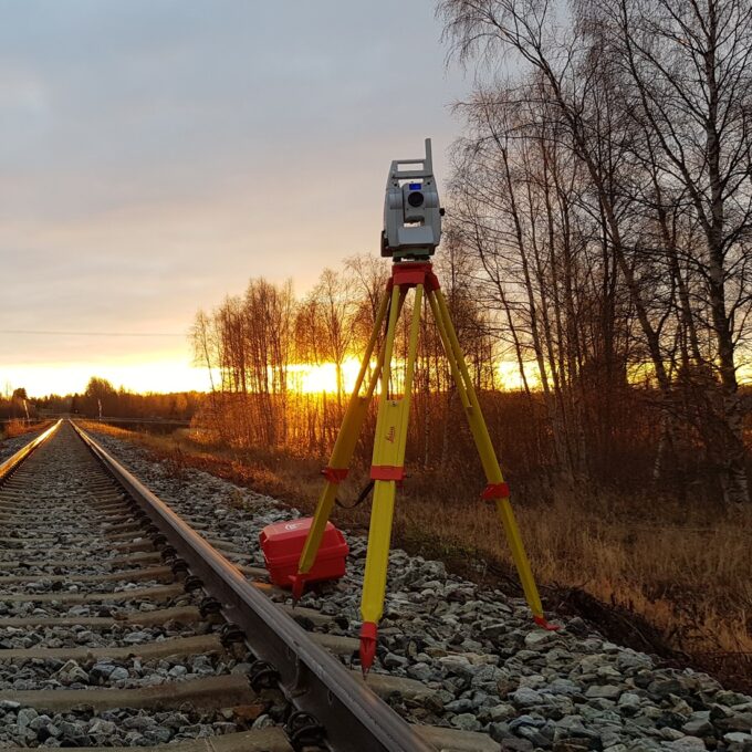
Construction geodesy is needed throughout the construction process. Right from the start of construction, the geodesist will set up a geodetic network on the site and place the bench marks, which are key points throughout the construction process for both the builder and the geodesist.
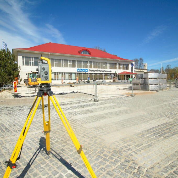
The geodesist will then start the marking work. Based on a site plan drawn up by the designer, the corners and axes of the future building, roads, utilities, gardens and often trees and shrubs to be planted are marked on the registered immovable using various marking tools.
The geodesist’s task is to measure the exact position and height of the built elements during construction and to prepare the as-built drawings. As-built drawings can be prepared for absolutely any built element (e.g. excavation volume, footing, foundation, water and sewerage networks, communication networks, electricity networks). It is very important to remember that throughout the construction process, the geodesist must be called to the site in a timely manner, which will allow them to carry out the necessary measurements while the element to be constructed is still accessible. It is important to avoid situations where, for example, a water pipe has been removed and the trench is filled with sand and soil again, or where it is only discovered on completion of the building that, after the foundations have been built, the as-built drawings were not completed in time.
For larger projects, it is wise to make an agreement that guarantees the presence of a geodesist for a whole day or, at the most, half a day. In this way, uninterrupted construction is ensured, along with timely measurements and correct documentation when the building is handed over or when the building permit procedure is initiated.
We carry out the following construction geodesy works:
- Marking of buildings and as-built surveying: marking of building axes, marking of the position of building details according to the design and dimensioning of the building after construction, preparation of an as-built model and an as-built drawing.
- Road marking and as-built surveying: marking and post-construction as-built surveying of roads and streets to be built, preparation of an as-built model and an as-built drawing.
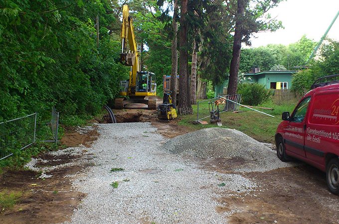
- Marking up and as-built surveying of utility networks: marking up of the lines to be built and as-built surveying after construction, preparation of an as-built model and an as-built drawing.
- Installation of height signs and bench marks
- Calculation of volumes: calculation of volumes for excavation and earthworks
- As-built survey: various as-built surveys of construction
Like a builder, a geodesist’s major construction projects are multi-faceted and, taken separately, a single project may involve the simultaneous extraction of soil, the construction of buildings, bridges, roads, railways, and utility networks. For us, this means the opportunity to apply all our expertise, specialists, and equipment from different disciplines to a single project.
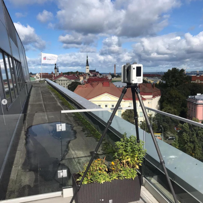
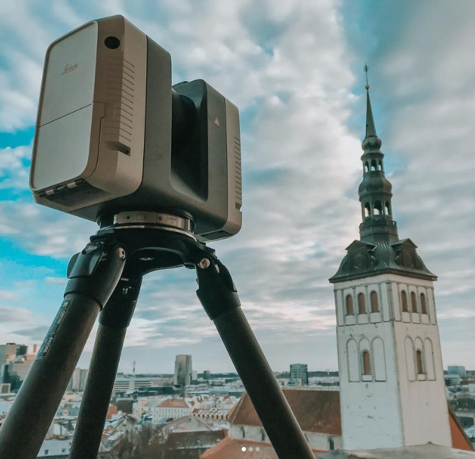
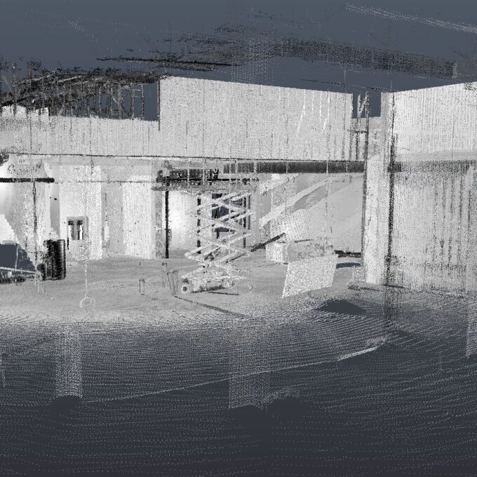
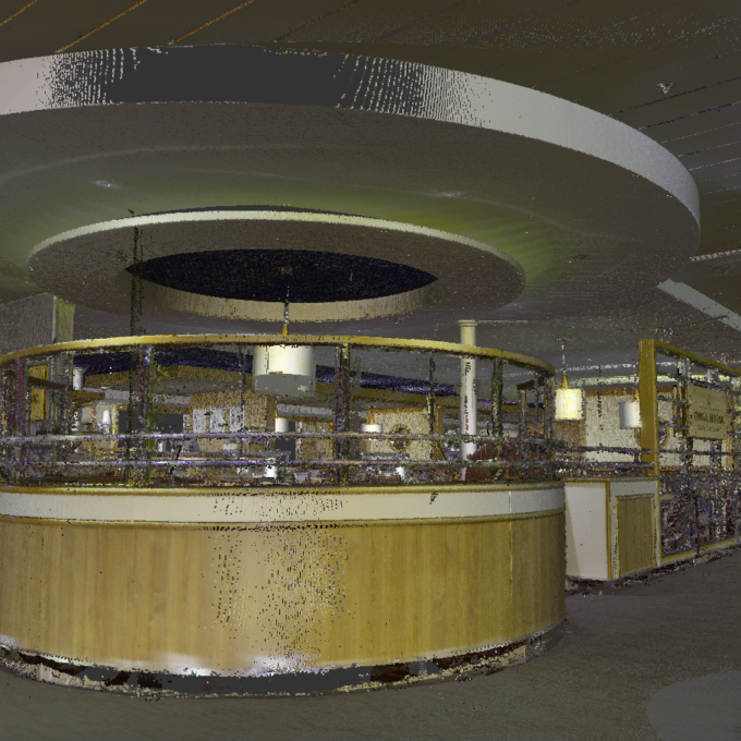
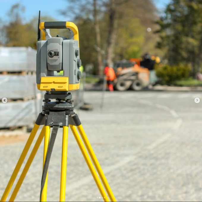
It is not uncommon, but also not unprecedented, for situations to arise on a site where one of the geodesists marks the clearance line with a GNSS device. At the same time, a drone surveyor is performing an overflight to monitor the construction status of the site on a daily basis or to fix some situations that require less precision. The construction geodesist uses an electron surveyor to mark out a section of road that will soon be under construction. A laser scanner creates a point cloud in buildings, which is later used to generate an as-built drawing or model of the posts and a floor level map to check floor levelness.
In addition, mobile laser scanning will be carried out from the roof of a car on the developed roads in order to produce as-built drawings and models of asphalt, road signs, kerbs, pavements, and road markings.
Get a quote for construction geodetic works
Other services
-
Topo-geodetic base plan
The topo-geodetic base plan is a map of the surveyed area, which gives the site plan view of the...
Read more -
Post-construction survey
To most of us, a post-construction survey may visually appear like a geo-survey and often raises the...
Read more -
As-built survey
The as-built survey is a process in the field of geodesy where works carried out during construction...
Read more -
Building surveying
The point cloud obtained from laser scanning is a set of millions of individual points that...
Read more -
Laser scanning
Laser scanning is the leading technological solution for creating 3-dimensional visualisations or...
Read more -
Point cloud
The point cloud is an indispensable tool in the fields of planning and construction, property...
Read more -
Digital twin
Three-dimensional planning has been used by architects and designers in the building sector for over...
Read more -
Land readjustment services
All land readjustment services will be carried out through the Land Registry's master plan. For...
Read more -
Hydrographic surveys
Hydrographic surveys are mostly used to measure water depths, volume calculations for dredging,...
Read more -

Building regularisation
We can assist you in regularising...
Read more