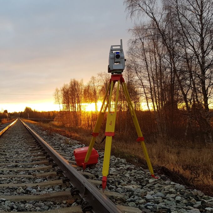
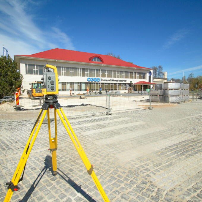
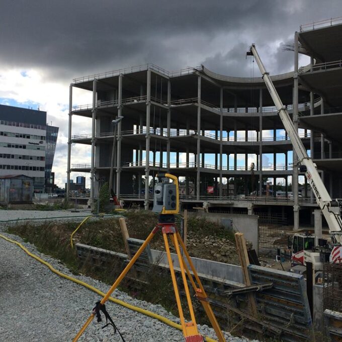
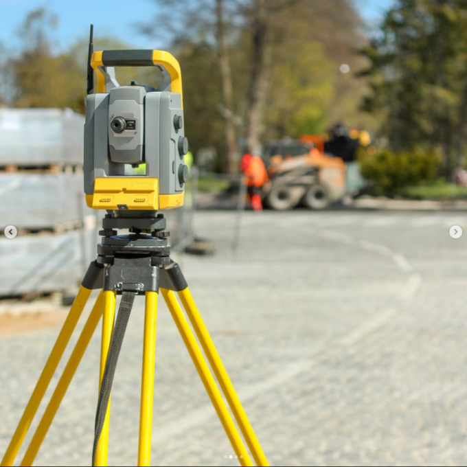
Laser scanning is the leading technological solution for creating 3-dimensional visualisations or representations of the real world. Data collection or surveying using laser scanning technology can be carried out during planning or design activities, before and after construction activities, and, of course, during construction activities.
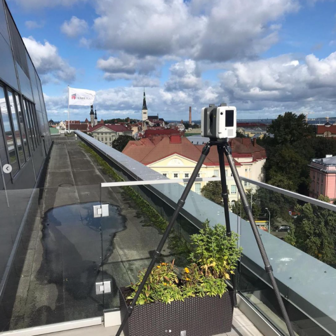
Laser scanning allows for the collection of a very large quantity of data in a short period of time, which can be processed in the form and volume required. A laser scanner is a high-precision technological device that allows the operator carrying out the laser scanning to collect millions of points every second during the scanner’s operation; in simple terms, a million measurements are made every second within the working radius of the laser scanner. The measurements result in a 3D point cloud of the object to be measured, which can be used for 3D modelling or 2D plotting of almost any object contained within it.
Advantages of laser scanning:
- Fast: very quick data collection. It’s possible to capture and recreate the situation in a computer within seconds;
- Accurate: we can ensure accuracy up to 1mm in both stationary (buildings) and mobile scanning fields (roads, railways, bridges);
- Lots of data: it can be processed in the direction and volume necessary for the client;
- Versatile: data is the foundation of everything, it provides the opportunity to make more rational decisions. Mass data analysis is becoming increasingly efficient thanks to the advancement of software and AI, allowing more significant information to be extracted from the data.
Laser scanning is growing in popularity each year, with point clouds becoming an increasingly common tool in daily operations. On one hand, equipment manufacturers are continuously improving laser scanners to produce higher-quality point clouds in shorter timeframes. On the other hand, software developers are tackling the challenge of retrieving data from point clouds in an automated and labour-efficient manner.
Comprehensive and reliable data is invaluable for making the right decisions in the construction sector. 3D surveying provides valuable information that can be used by architects during the design phase, by drafts people during construction and by property managers during the management phase.
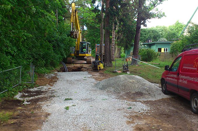
In addition, laser scanning offers the possibility to collect data from a distance. Measurements in hard-to-reach places are safe and non-contact thanks to laser scanning. The laser scanners we use can measure from a distance of up to 350 metres.
Products made by laser scanning

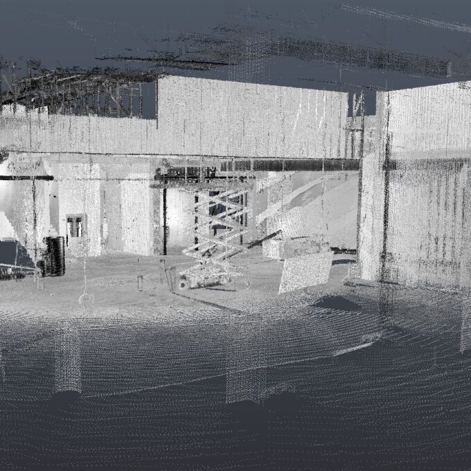
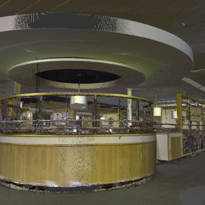
Point cloud
The point cloud is the primary and quickest product delivered in a laser scanning survey. A point cloud is a collection of individual survey positions captured from common laser scanning locations, linked together and cleaned of excess noise. It can be used for various purposes, including taking measurements, documenting conditions, archiving, data processing and calculating volumes.
BIM model
One of the most common requests from our clients, in addition to 2D drawings of a building, is a BIM building measurement model, a building execution model or a baseline building model. While the names vary, the content remains the same: a 3D model of an existing building. Such a model may be required by an architect as a base model for design purposes or by a property manager for integration with management software.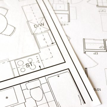
2D drawings
The point cloud is an excellent tool for creating 2D drawings, as it contains a wealth of detailed information. Depending on the task, it can be used to produce architectural drawings of a building, inventory drawings, detailed representations of important or unique features, or any other type of 2D drawing required.
Get a quote for laser scanning
Other services
-
Topo-geodetic base plan
The topo-geodetic base plan is a map of the surveyed area, which gives the site plan view of the...
Read more -
Post-construction survey
To most of us, a post-construction survey may visually appear like a geo-survey and often raises the...
Read more -
Structural geodesy
Construction geodesy is needed throughout the construction process. Right from the start of...
Read more -
As-built survey
The as-built survey is a process in the field of geodesy where works carried out during construction...
Read more -
Building surveying
The point cloud obtained from laser scanning is a set of millions of individual points that...
Read more -
Point cloud
The point cloud is an indispensable tool in the fields of planning and construction, property...
Read more -
Digital twin
Three-dimensional planning has been used by architects and designers in the building sector for over...
Read more -
Land readjustment services
All land readjustment services will be carried out through the Land Registry's master plan. For...
Read more -
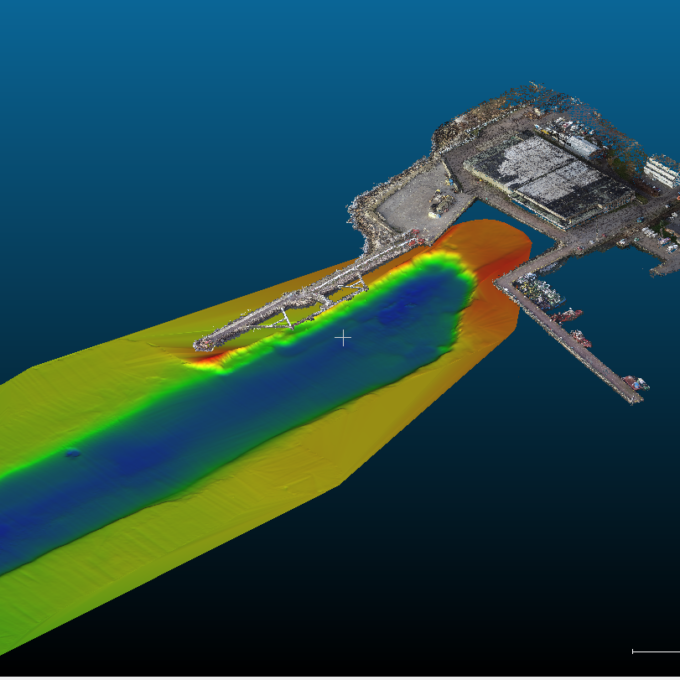
Hydrographic surveys
Hydrographic surveys are mostly used to measure water depths, volume calculations for dredging,...
Read more -

Building regularisation
We can assist you in regularising...
Read more