Topo-geodetic base plan
Feel free to contact us for a geodetic survey of private property, as well as for large-scale and complex topo-geodetic surveys. Whether it’s detailed planning for a large area, designing a road or railway, a public water supply, street lighting, gas networks, communication networks or any other type of planning, we are here to assist with all your geodetic survey needs!
The topo-geodetic base plan is a map of the surveyed area, which gives the site plan view of the land along with the location of utility networks. The topo-geodetic base plan or geodetic base indicates the position of buildings and structures, trees, shrubs, roads and footpaths, poles, water and sewer pipes, electricity and communication lines, underground heating contours, heating and gas pipelines and other above-ground and underground installations. This work will be used by the designer as a basis for their own design. They obtains the necessary basic information, takes into account the design brief and the legislation, and then draws up a plan of the site, or in other words, designs what they think will be built in the future, and renames it the site plan.
Topo-geodetic research process using the example of Geodeesia24:
- Preparation of measurement work in the office: preparation for fieldwork, reviewing existing documentation.
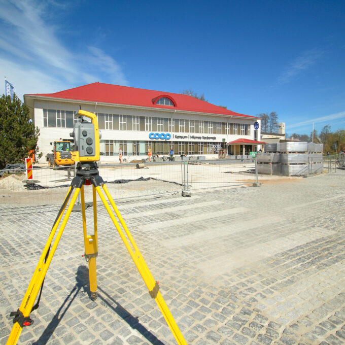
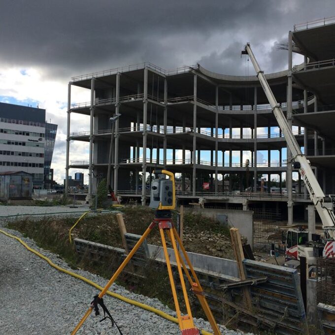
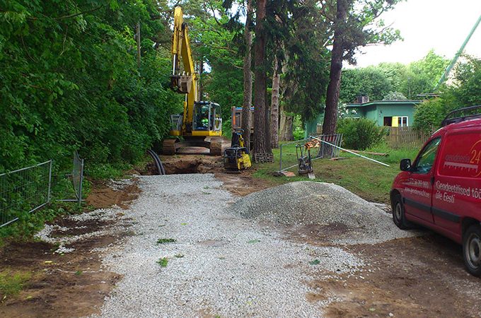
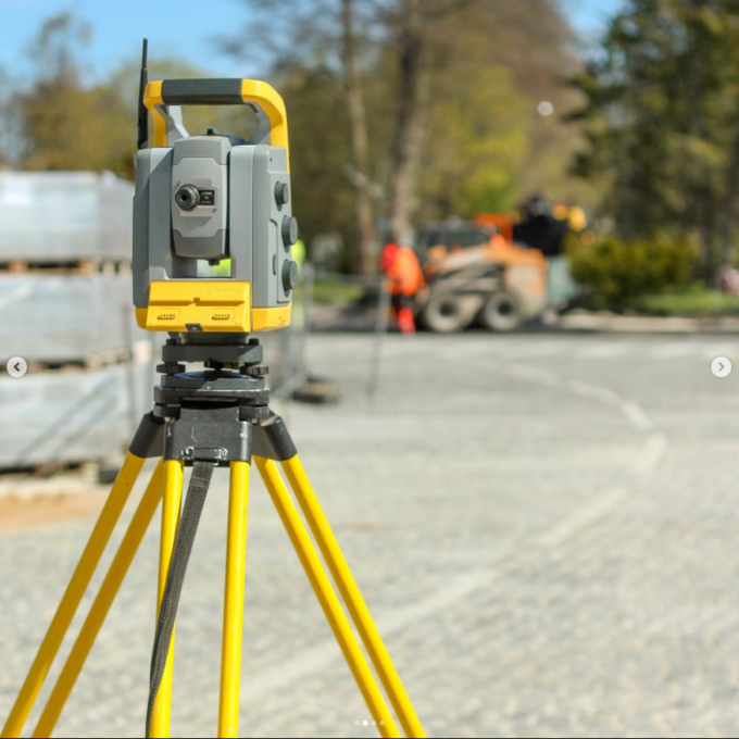
- Fieldwork: this phase involves surveying the situation on the ground, investigating the wells and other utilities, if necessary. The survey will be carried out using different types of equipment: levelling instrument, electron-tachymeter, GNSS RTK (GPS device), laser scanner.
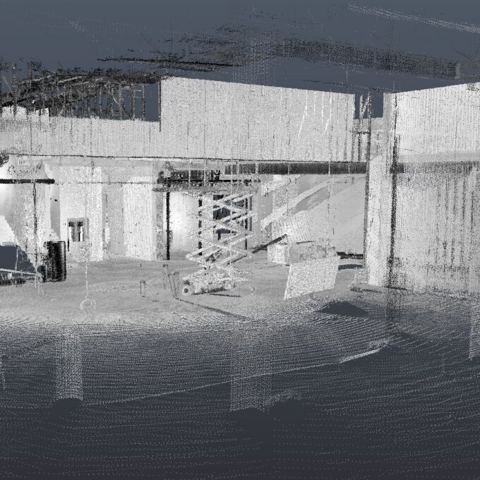
- Plotting and coordination: after processing the survey data collected in the field, a preliminary geo-plot is produced showing all of the objects in the survey area – roads, buildings, structures, trees, road signs, etc. During the coordination process, in liaison with the utility companies, the underground utilities are marked on the geodetic base plan on the basis of the as-built drawings.
- Compilation of a digital file: once the drawing has been completed and the approvals of the owners of the utility networks have been obtained, a digital file containing all the documents and results of the work is compiled. Forwarding of the work product to the client.
- Registration of the work in the local government: most local governments have developed specific geo-repositories where the work is registered and becomes available to all users of the geo-repository.
We use the coordinate system in force in the Republic of Estonia for the works, and all surveys comply with Regulation No 34 adopted by the Ministry of Economic Affairs and Infrastructure on 14 March 2016.
The validity period of a topo-geodetic survey varies from local government to local government, usually between one (1) and two (2) years. However, the approvals of some network operators are valid for no more than one (1) year. It is also necessary to order a new geodetic survey if construction work has been carried out in the survey area, which has led to a situation where the situation shown on the drawing does not correspond to reality.
If you would like to request this service, please submit your request using the enquiry form, by writing to info@geodeesia24.ee or by calling +372 5621 7960.
Get a quote for geodetic base plans
Other services
-
Post-construction survey
To most of us, a post-construction survey may visually appear like a geo-survey and often raises the...
Read more -
Structural geodesy
Construction geodesy is needed throughout the construction process. Right from the start of...
Read more -
As-built survey
The as-built survey is a process in the field of geodesy where works carried out during construction...
Read more -

Building surveying
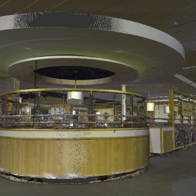
The point cloud obtained from laser scanning is a set of millions of individual points that...
Read more -

Laser scanning
Laser scanning is the leading technological solution for creating 3-dimensional visualisations or...
Read more -
Point cloud
The point cloud is an indispensable tool in the fields of planning and construction, property...
Read more -
Digital twin
Three-dimensional planning has been used by architects and designers in the building sector for over...
Read more -
Land readjustment services
All land readjustment services will be carried out through the Land Registry's master plan. For...
Read more -
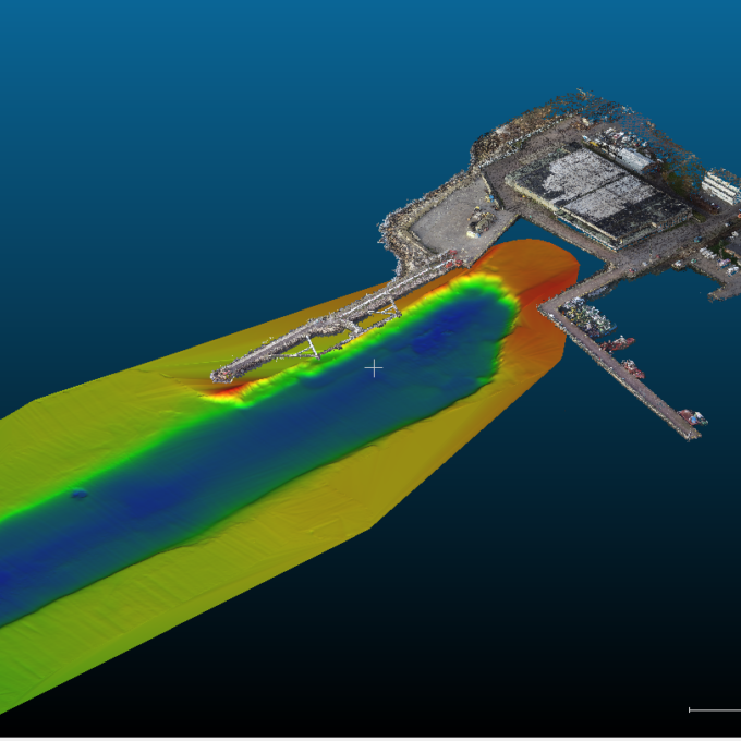
Hydrographic surveys
Hydrographic surveys are mostly used to measure water depths, volume calculations for dredging,...
Read more -

Building regularisation
We can assist you in regularising...
Read more