Services
-
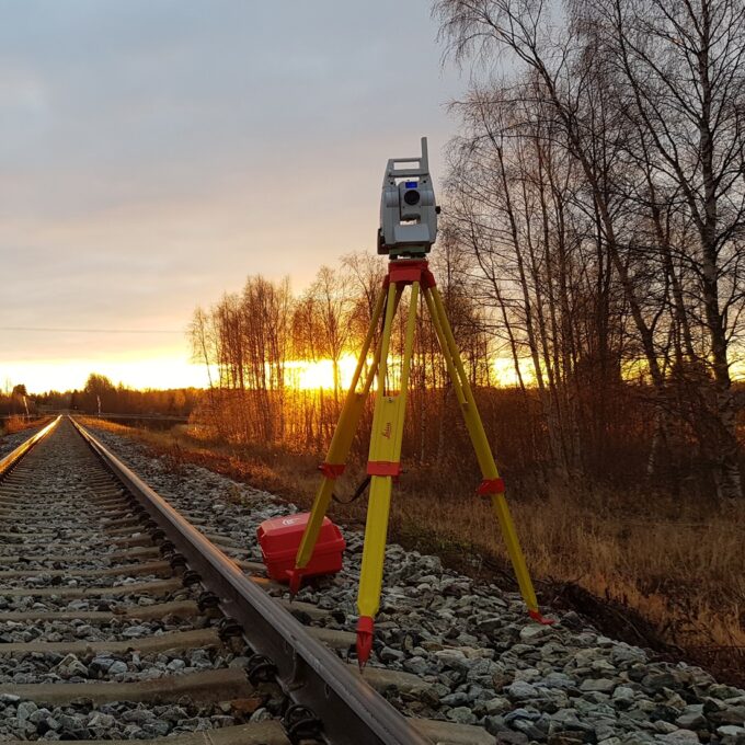
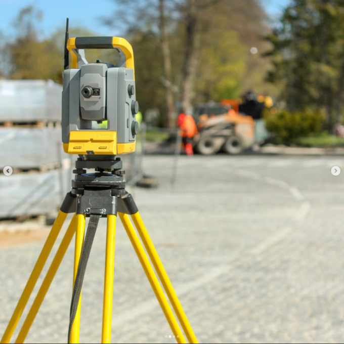
Topo-geodetic base plan
The topo-geodetic base plan is a map of the surveyed area, which gives the site plan view of the...
Read more -
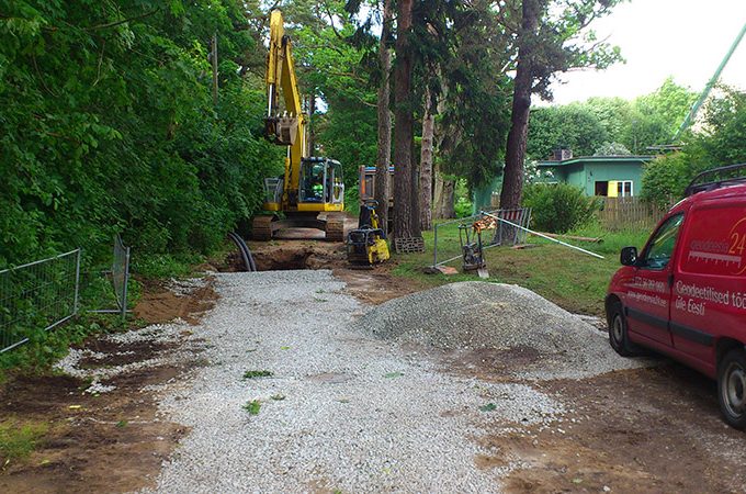
Post-construction survey
To most of us, a post-construction survey may visually appear like a geo-survey and often raises the...
Read more -
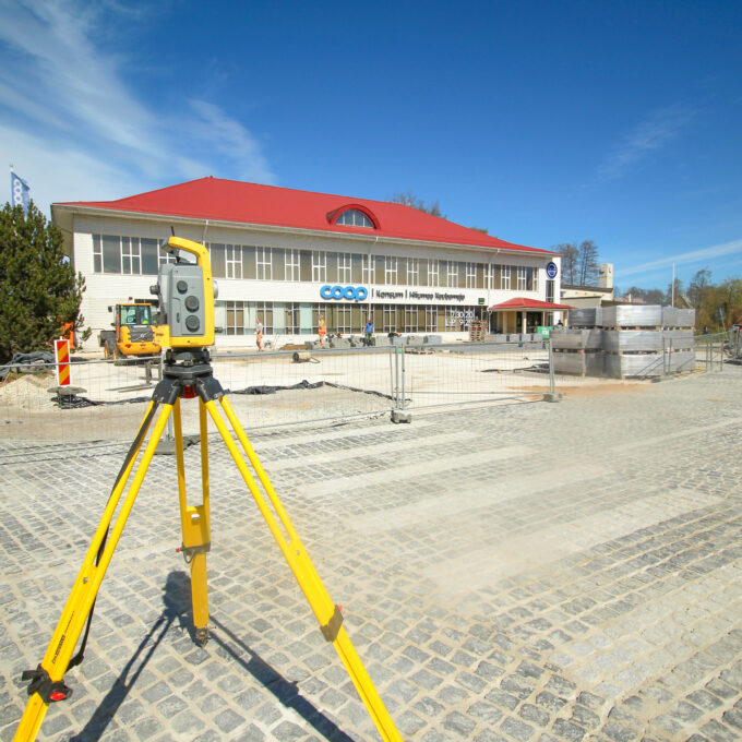
Structural geodesy
Construction geodesy is needed throughout the construction process. Right from the start of...
Read more -
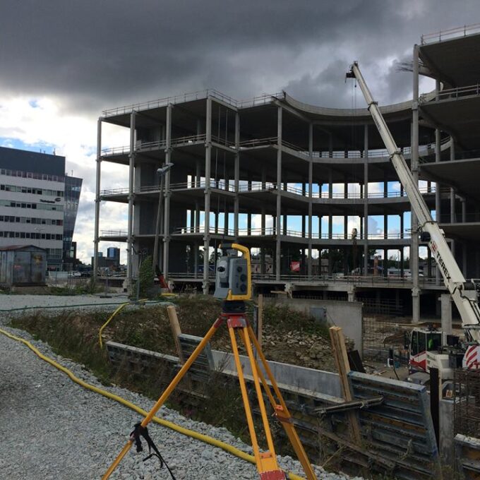
As-built survey
The as-built survey is a process in the field of geodesy where works carried out during construction...
Read more -
Building surveying
The point cloud obtained from laser scanning is a set of millions of individual points that...
Read more -
Mobile laser scanning
Our range of services includes a unique and...
Read more -
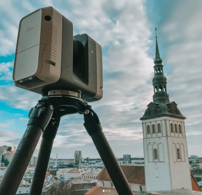
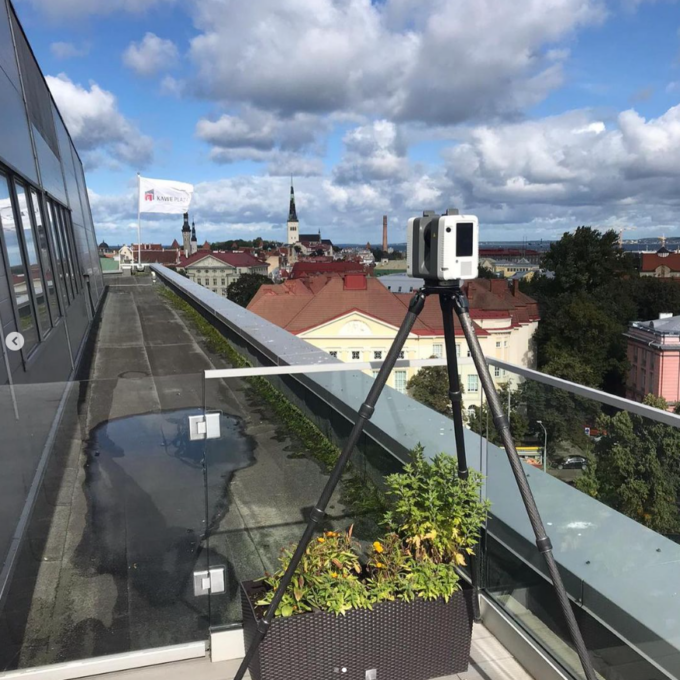
Laser scanning
Laser scanning is the leading technological...
Read more -
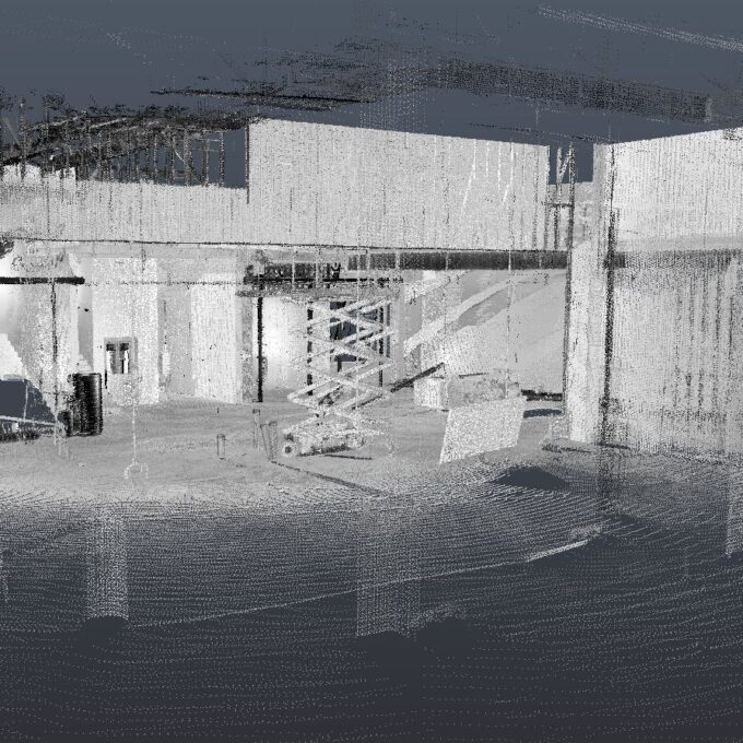
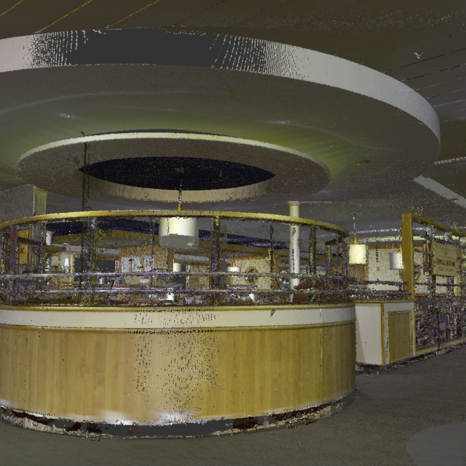
Point cloud
The point cloud is an indispensable tool in the fields of planning and construction, property...
Read more -
Digital twin
Three-dimensional planning has been used by architects and designers in the building sector for over...
Read more -
Land readjustment services
All land readjustment services will be carried out through the Land Registry's master plan. For...
Read more -
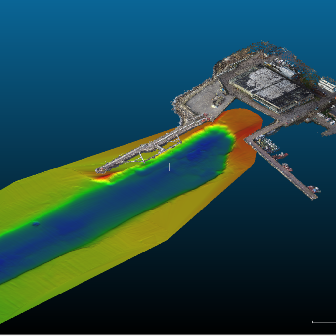
Hydrographic surveys
Hydrographic surveys are mostly used to measure water depths, volume calculations for dredging,...
Read more -

Building regularisation
We can assist you in regularising...
Read more