About
Our team comprises approximately 30 specialists, evenly divided among the topo-geodetic research, laser scanning, building surveying, and structural geodesy departments.
In addition to conventional geodesy techniques and equipment, laser scanning – and the creation of digital twins – plays a crucial role in developing our products. This technology offers ample opportunities to create new products and add significant value to existing ones.
We constantly seek ways to leverage technology and software to enhance product quality and make the manufacturing process faster and more cost-effective for the customer.
How can we help you
-
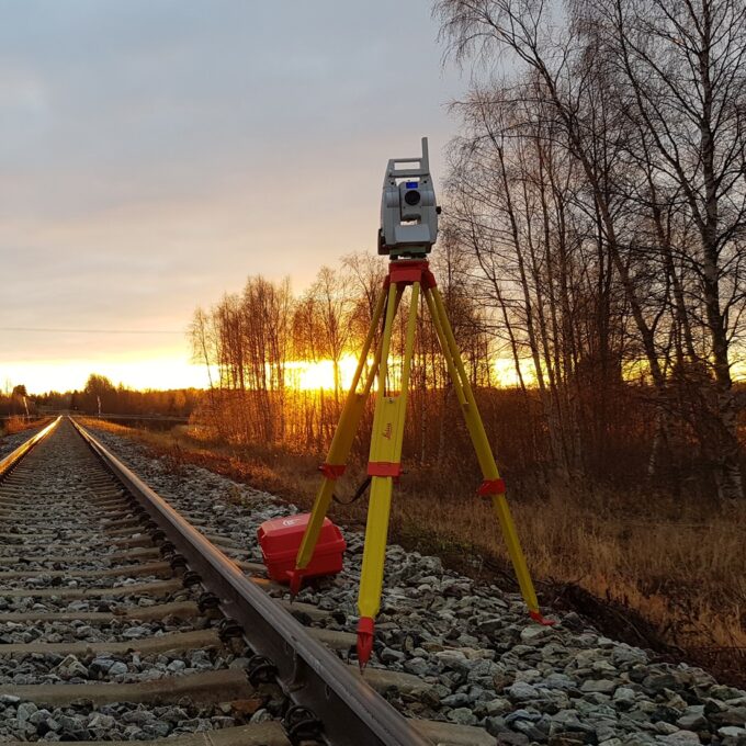
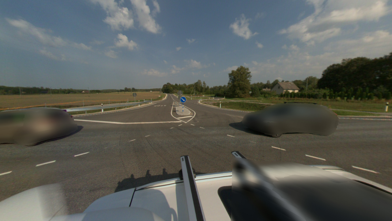
Topo-geodetic base plan
The topo-geodetic base plan is a map of the surveyed area, which gives the site plan view of the...
Read more -
Post-construction survey
To most of us, a post-construction survey may visually appear like a geo-survey and often raises the...
Read more -
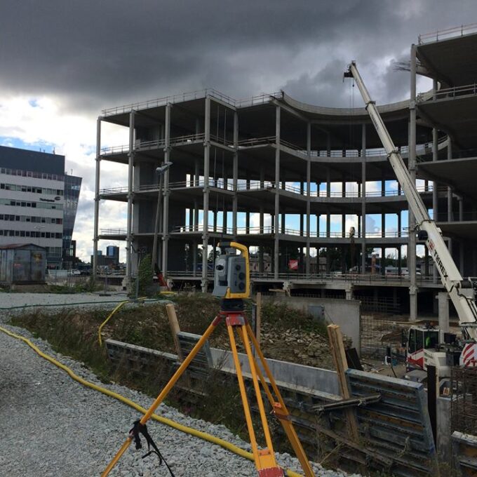
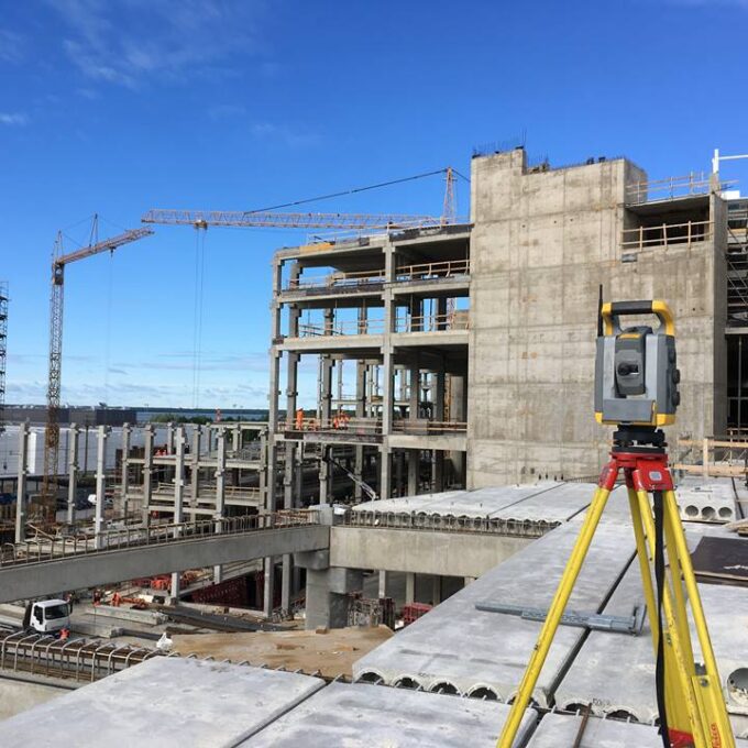
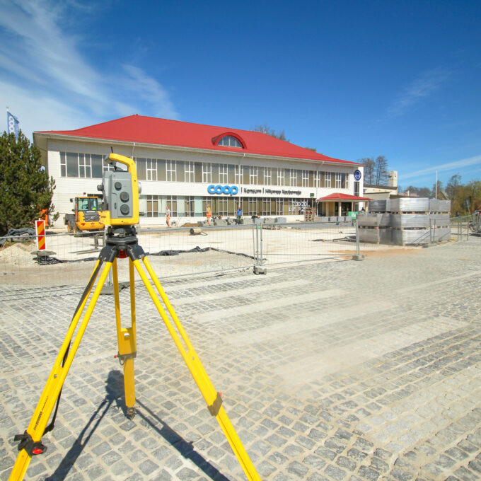
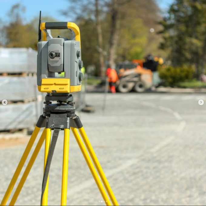
Structural geodesy
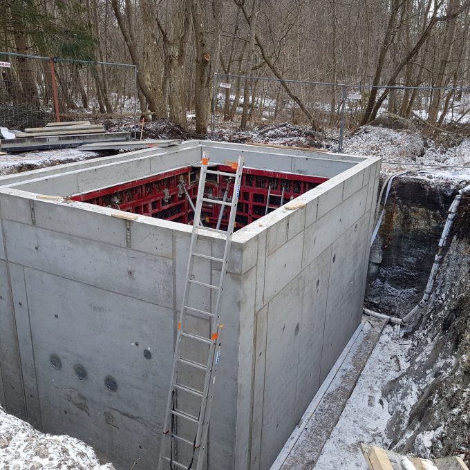
Construction geodesy is needed throughout the construction process. Right from the start of...
Read more -
As-built survey
The as-built survey is a process in the field of geodesy where works carried out during construction...
Read more -
Building surveying
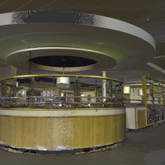
The point cloud obtained from laser scanning is a set of millions of individual points that...
Read more -
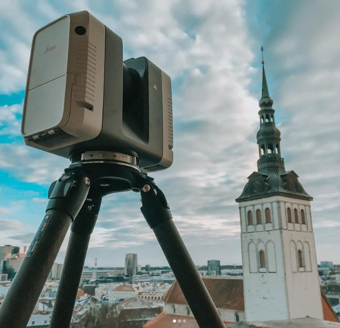
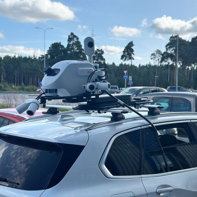
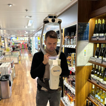
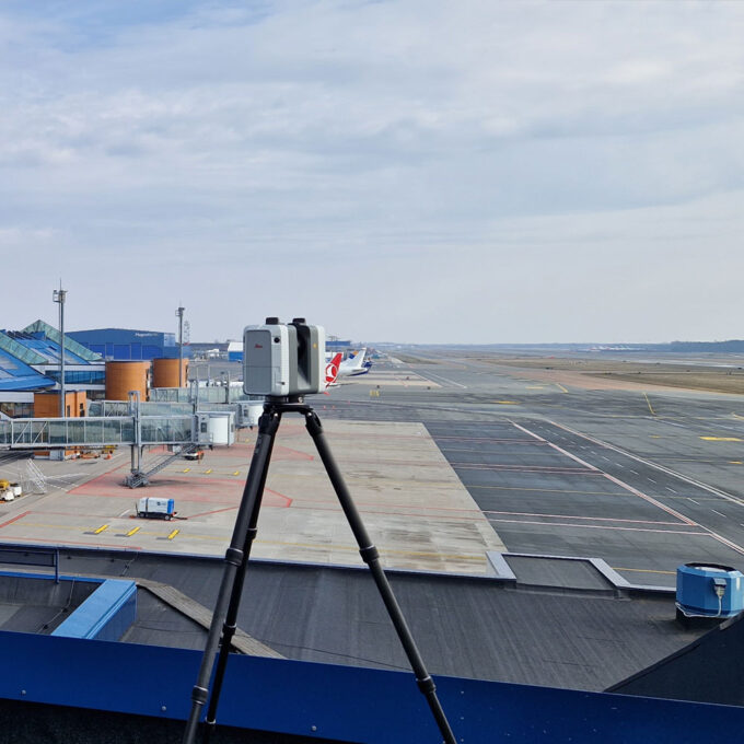
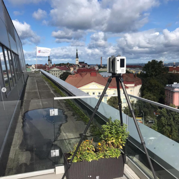
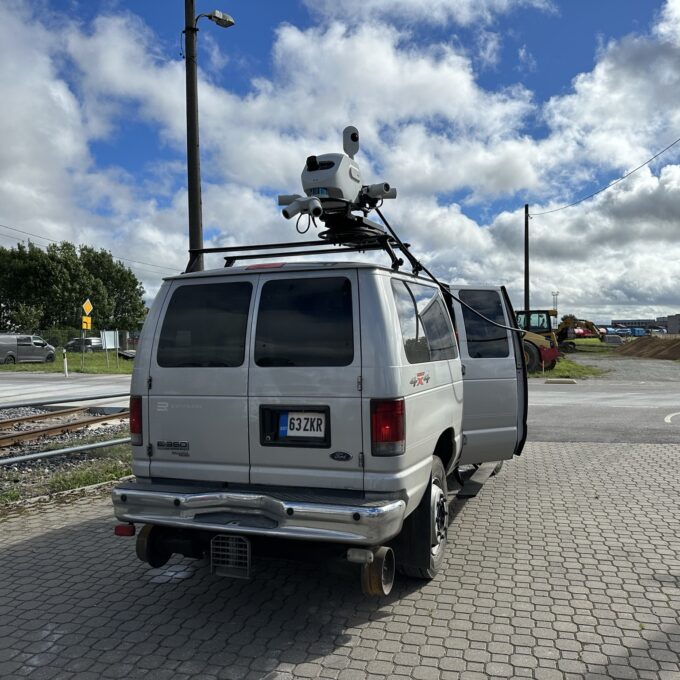
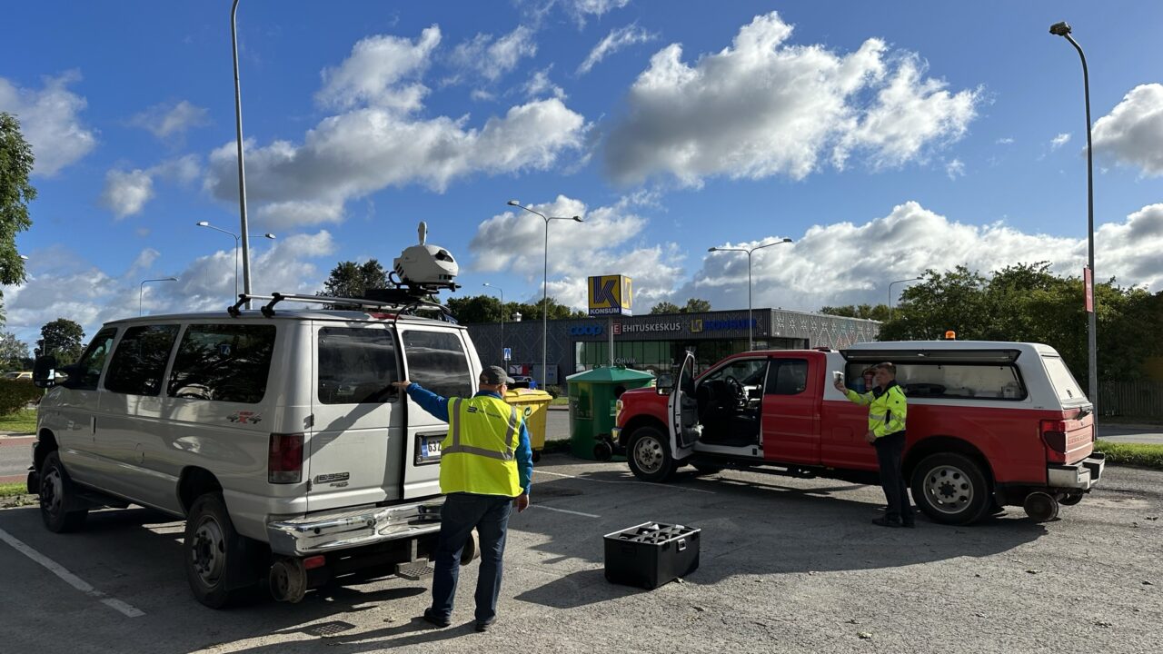
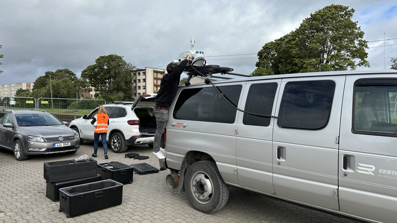
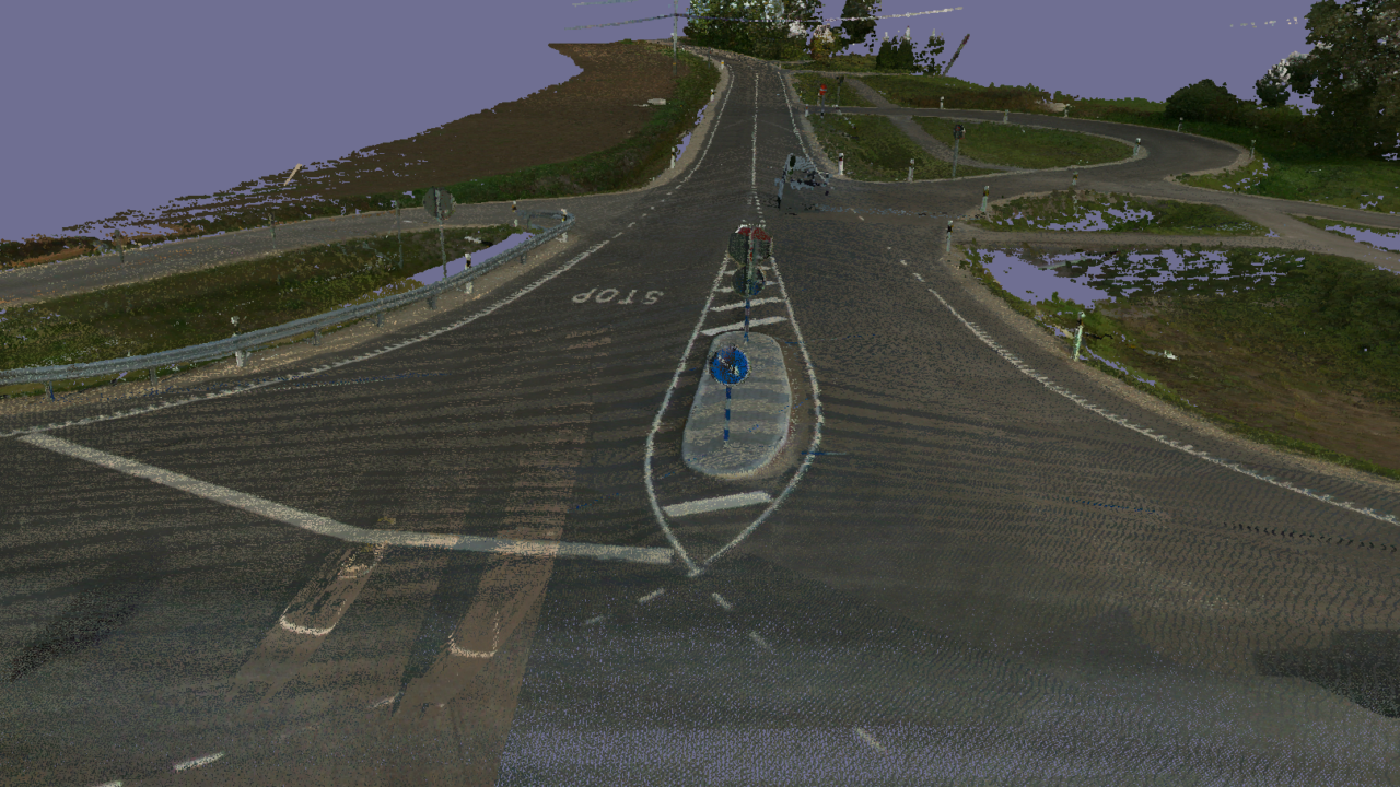
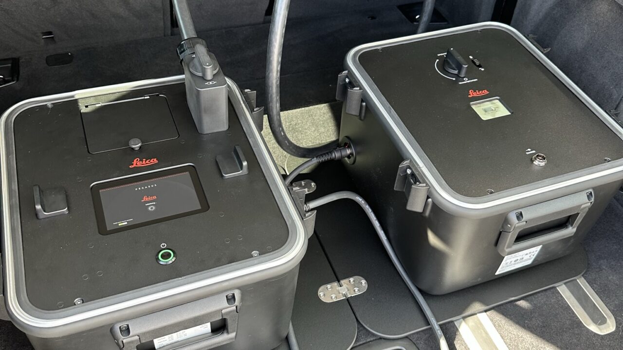
Laser scanning
Laser scanning is the leading technological...
Read more -
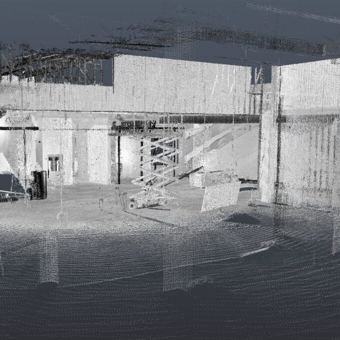
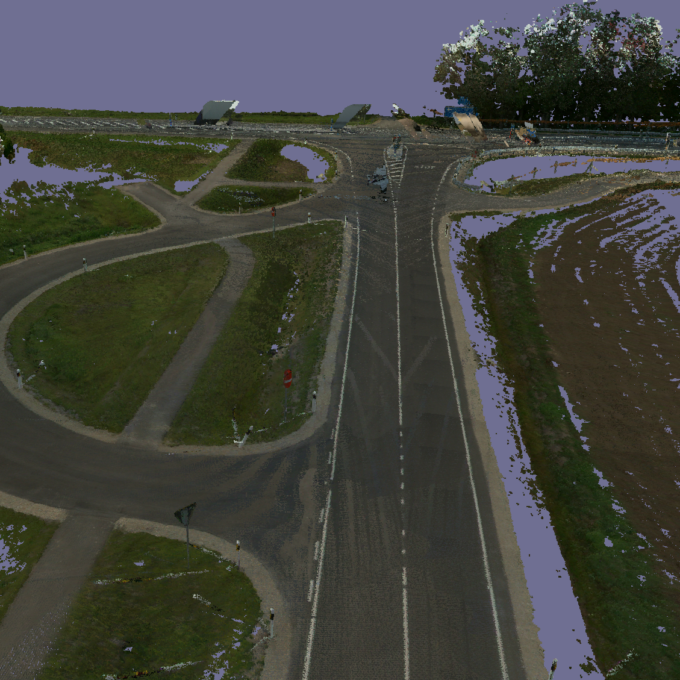
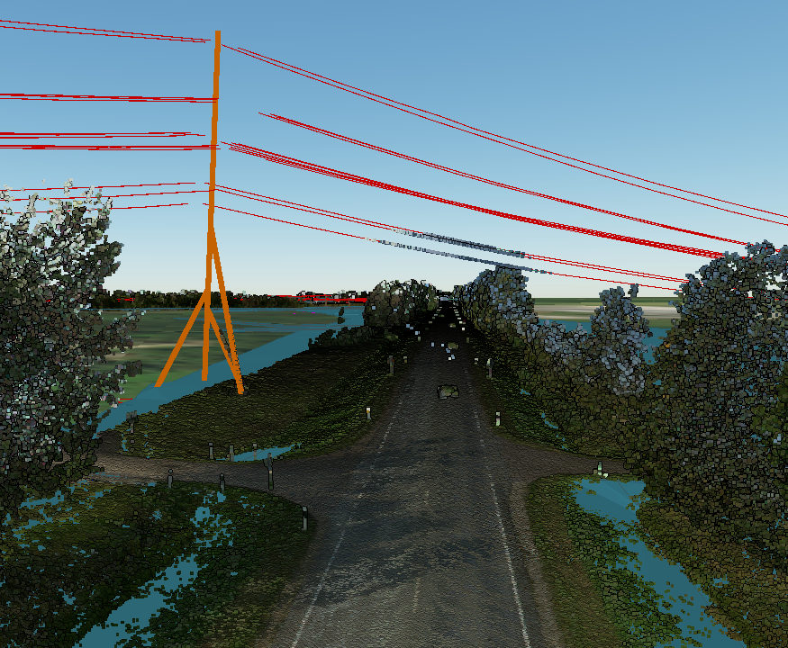
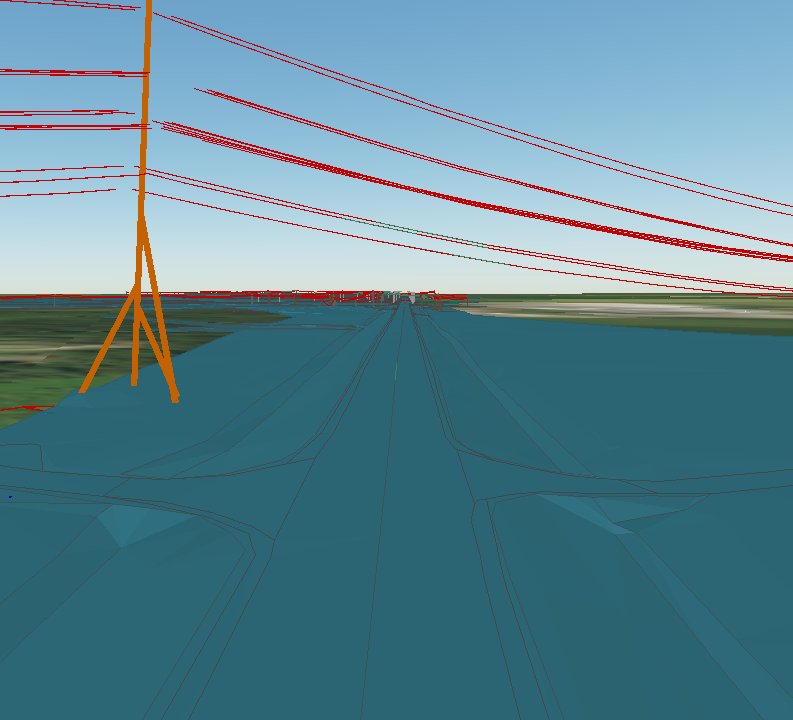
Point cloud
The point cloud is an indispensable tool in the fields of planning and construction, property...
Read more -
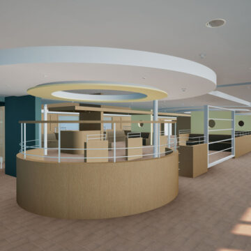
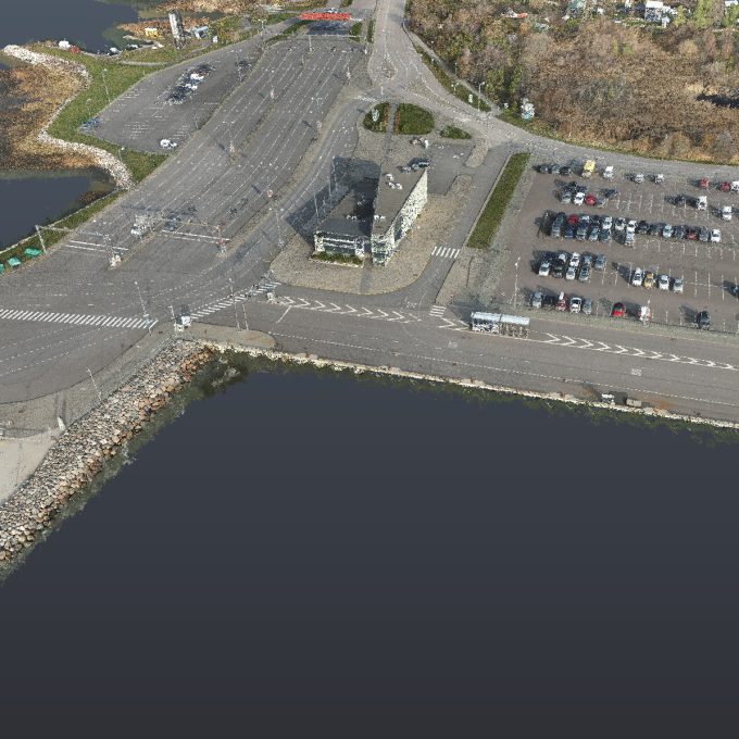
Digital twin
Three-dimensional planning has been used by architects and designers in the building sector for over...
Read more -
Land readjustment services
All land readjustment services will be carried out through the Land Registry's master plan. For...
Read more -
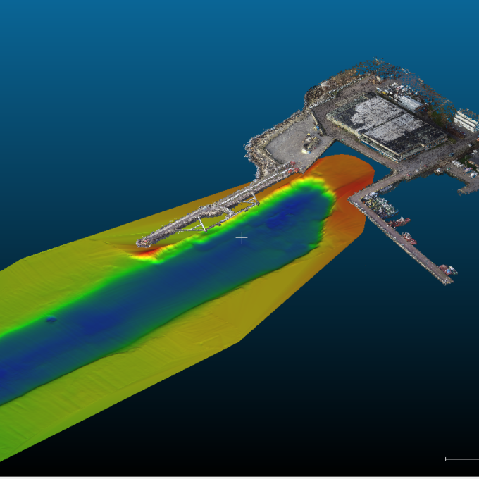
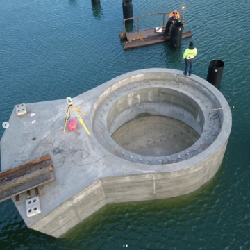
Hydrographic surveys
Hydrographic surveys are mostly used to measure water depths, volume calculations for dredging,...
Read more -

Building regularisation
We can assist you in regularising...
Read more
Latest projects
-
 4
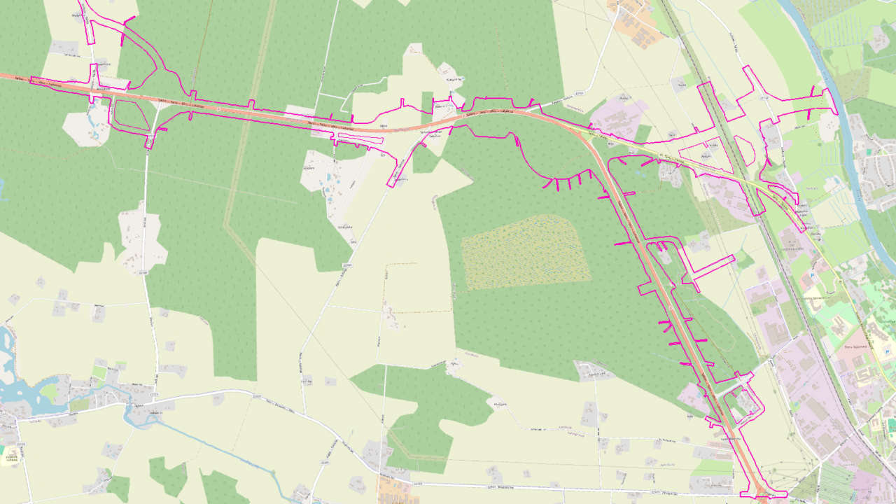
4Geodetic base plan of the Tapa-Kiltsi railway
- 2023
- Geodetic base plans
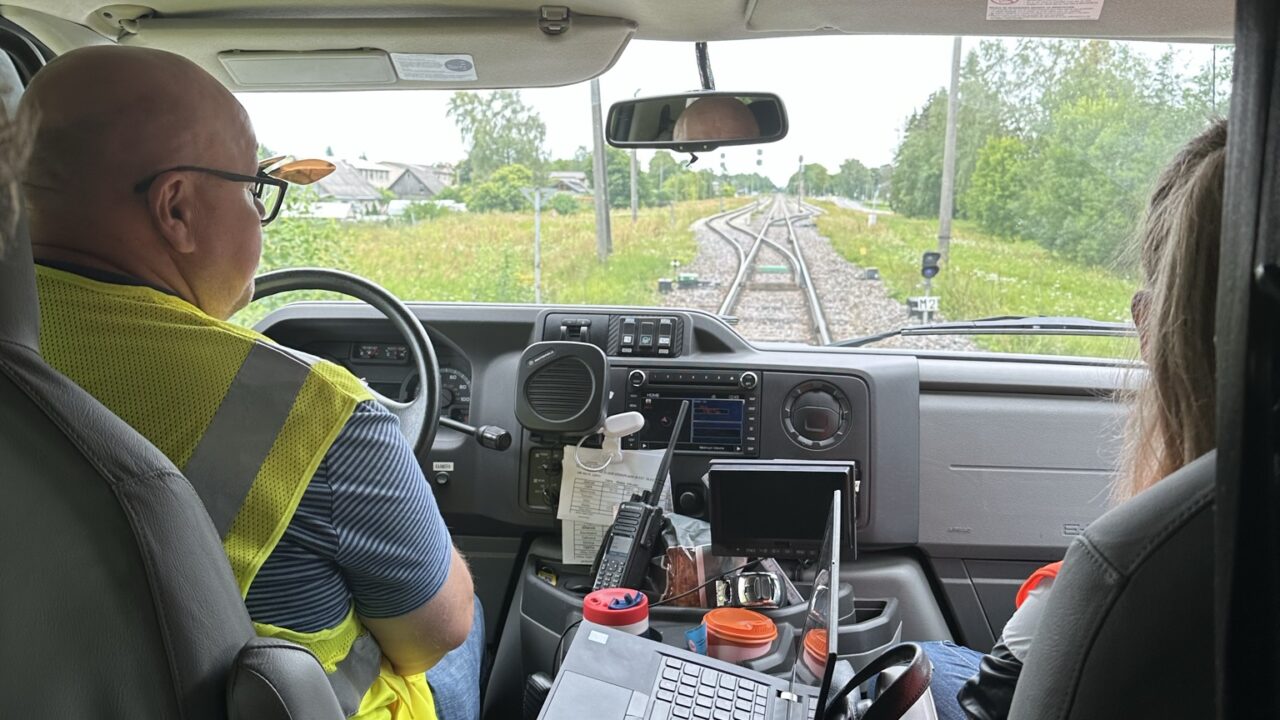
Geodeetiline alusplaan teostati kasutades mobiilset laserskaneerimist raudteel. Raudtee mõõdistamisel on väga oluline ohutus, kuna raudteedel liikumine võib olla äärmiselt ohtlik. Kasutasime Eesti Raudtee bussi, mille peale...
View gallery -
 8
8Geodetic base plan of the Kardla-Tartu section located at km 168.36-176.84 of Tallinn-Tartu-Võru-Luhamaa
- 2023
- Geodetic base plans
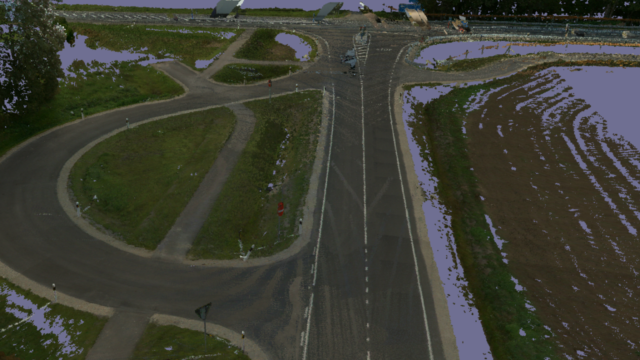
Geodeetiline alusplaan teostati Transpordiameti nõuete järgi ja geodeetilise alusplaani kogumahuks kujunes 289 hektarit. Geodeesia24 poolt koostatud geodeetilise alusplaani peale projekteeritakse 15 kilomeetri pikkune 2+2 ristlõikega maantee.
View gallery -
 4
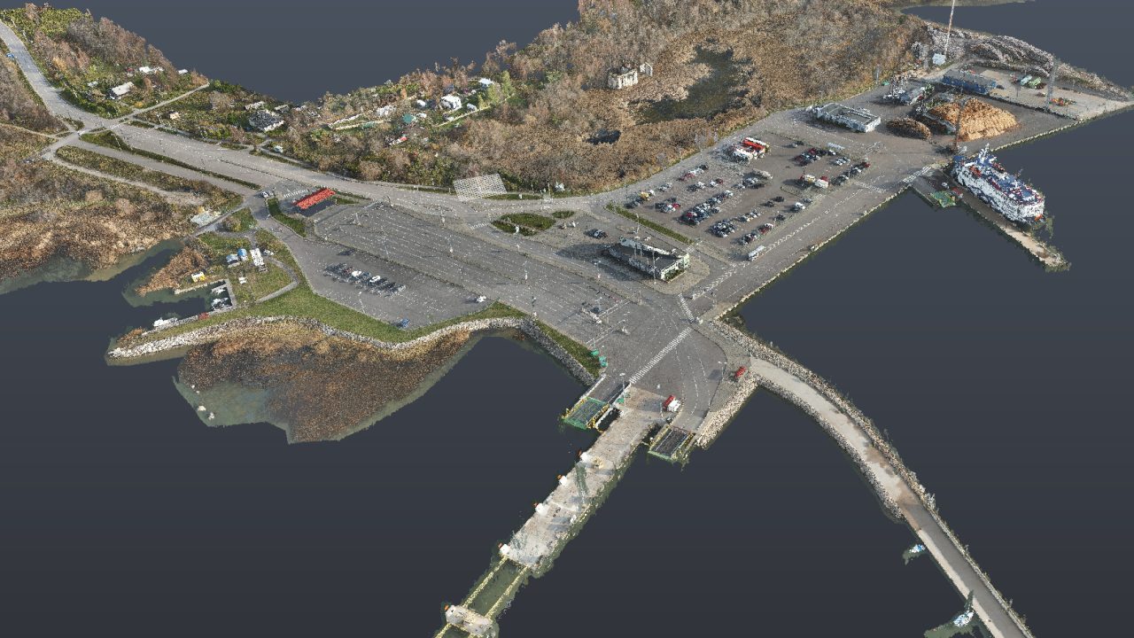
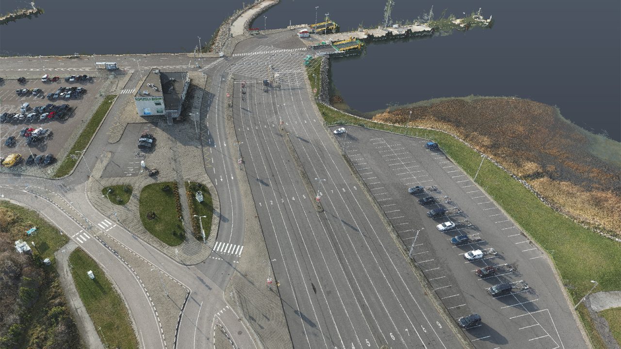
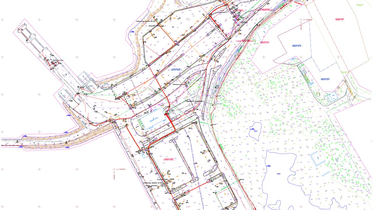
4Geodetic base plan of Rohuküla port
- 2022
- Geodetic base plans
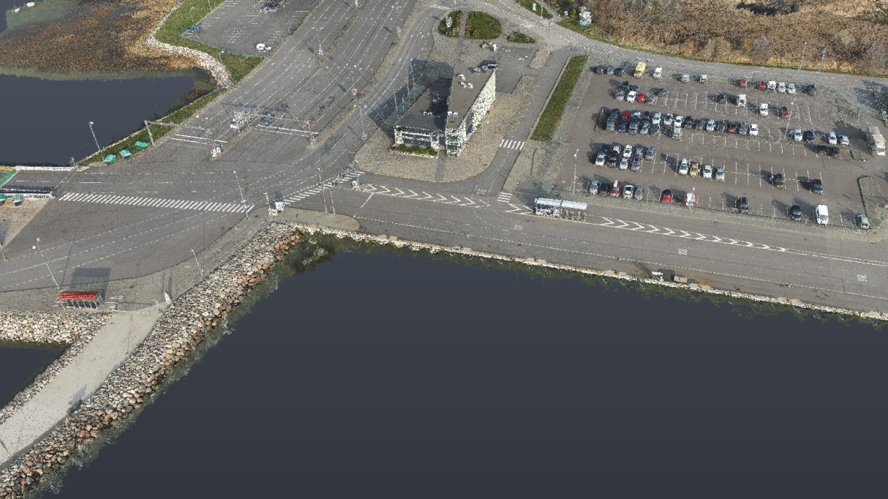
Geodeetiline alusplaan Rohuküla sadamale sai koostatud 2021 aastal ja tööde kogumaht oli 28 hektarit. Geodeetiline alusplaan on koostatud tahhümeetrilisel mõõdistusmeetodil ja abimaterjalina kasutati drooni punktipilve ja ortofotot.
View gallery -
 8
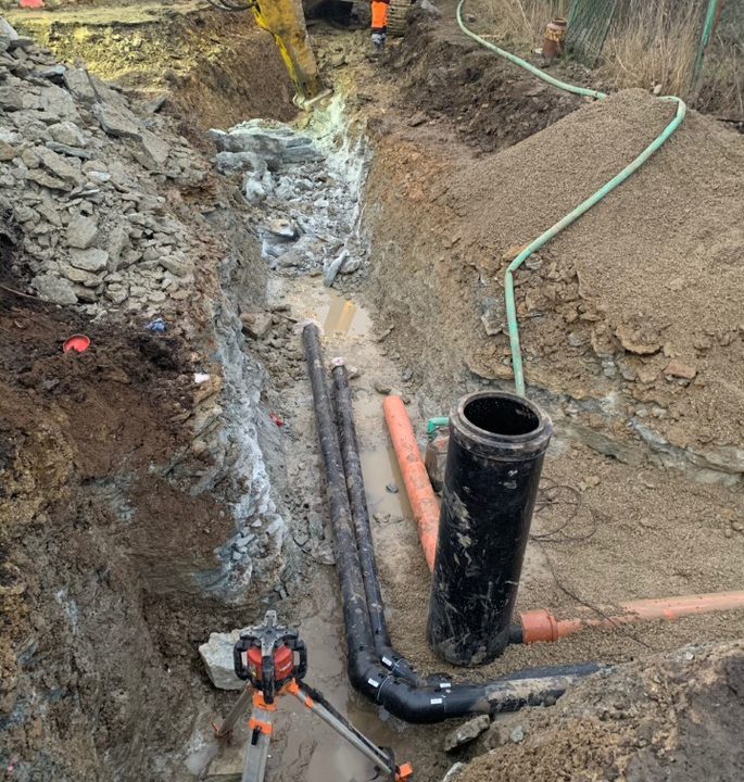
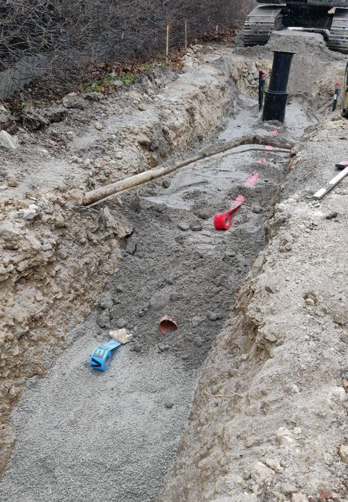
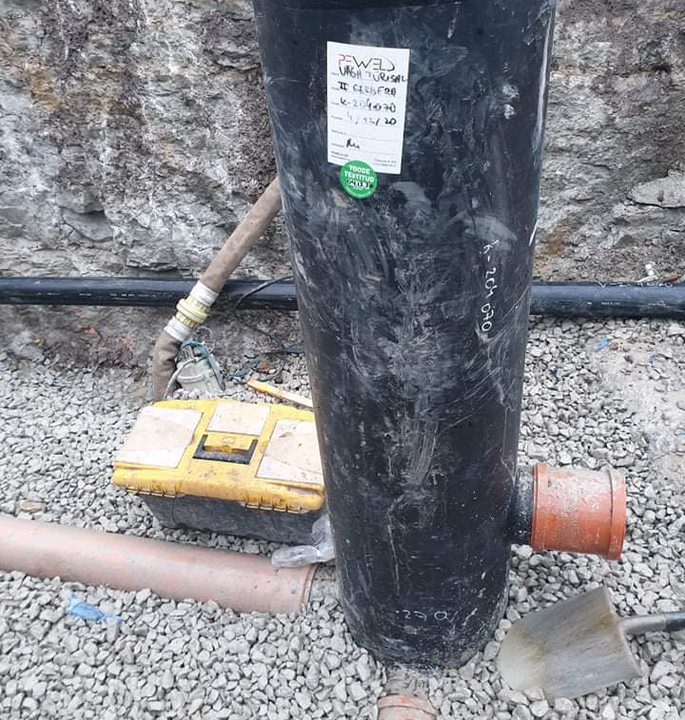
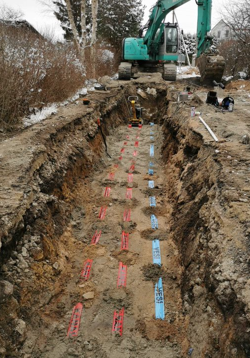
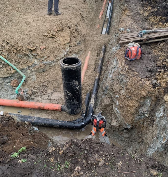
8Construction of public water supply in Türisalu village
- 2022
- Construction geodetic-works
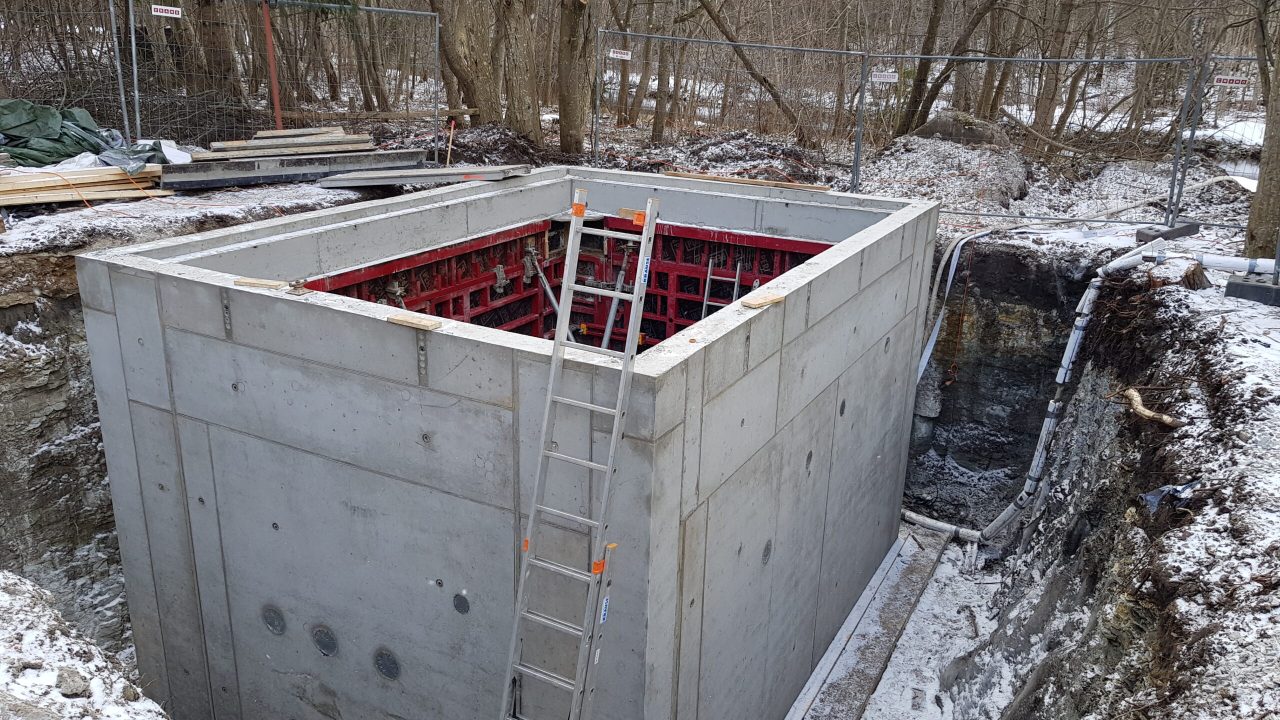
Geodeesia24 OÜ teenindas Türisalu külades uue ühisveevärgi ehitust, peatöövõtjaks oli Vensen AS. Kokku ehitati 60 kilomeetrit vee- ja kanalisatsioonitorustikke.
View gallery

Blog
Request a quote
We offer high quality services at very reasonable prices