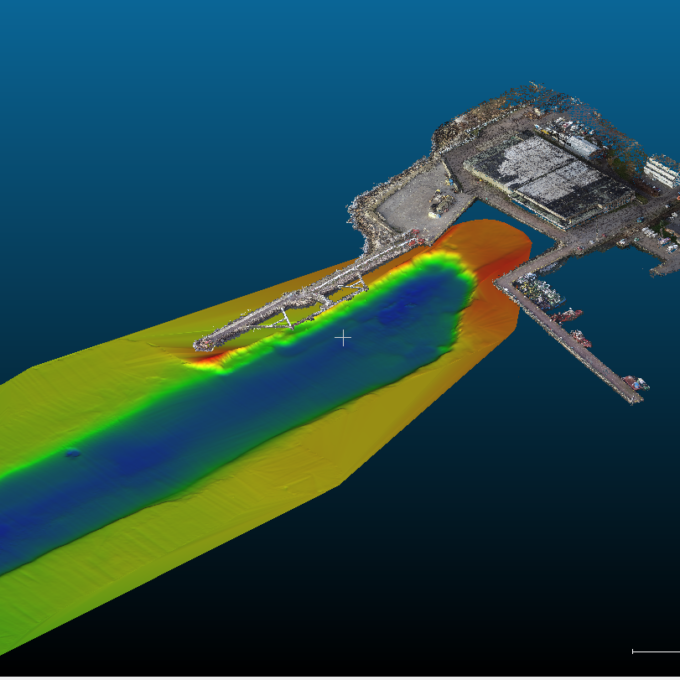
Point cloud
A cheap, efficient and accurate way to measure! At Geodeesia24 OÜ, we are ready to process 2D drawings, 3D models, classify data, calculate the necessary volumes, take the necessary measurements or even create a realistic computer game.
The point cloud is an indispensable tool in the fields of planning and construction, property development and management, environmental monitoring or technical monitoring and planning.
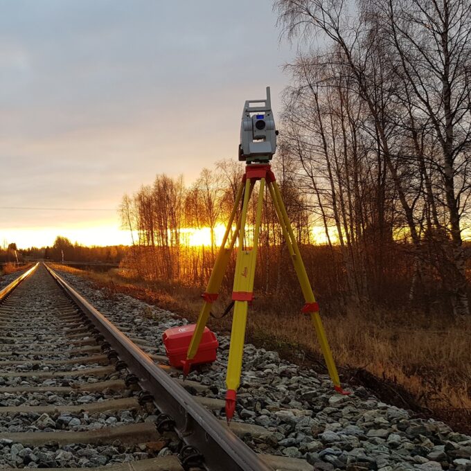
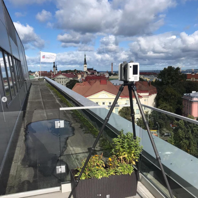
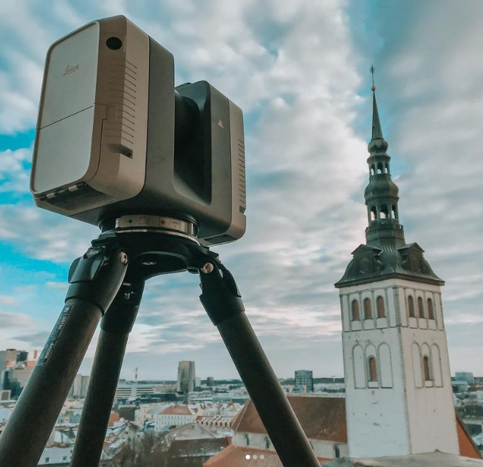
A point cloud is a three-dimensional data structure consisting of a large number of individual points, each point representing the coordinates of a spatial object or surface point. These points are obtained by various measurement techniques, such as laser scanning or photogrammetry, and form a relationship that provides a picture of the object or environment being measured. In simple terms, a point cloud is a duplicate of the place that was measured by laser scanning. In the point cloud, everything is exactly as it was at the time of the measurement at that location.
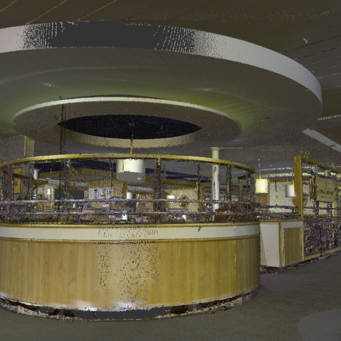
We produce point clouds in black and white as well as in colour. With a coloured point cloud, it is always possible to include a so-called virtual environment containing classified data (roads, poles, landscaping, power lines, curbs, buildings, trees, etc.), 360 panoramic photos, and point clouds. It is also possible to carry out simple operations in the environment – taking measurements, calculating areas, volumes, making notes, etc. We can deliver such solutions to the customer, with some functional differences, as an online application, but also through freeware software installed on the computer.
Over the years, we have seen very strong growth in the consumer base for point clouds, especially in the buildings sector. Even when a client orders the simplest 2D floor plan drawings of a building from us, it is very often stressed that the survey should be carried out using laser scanning and point cloud methods to avoid the errors that are easy to make with other methods – a curved wall is drawn straight, something is left unmeasured during the survey, etc.
Request a quote for a point cloud
Other services
-
Topo-geodetic base plan
The topo-geodetic base plan is a map of the surveyed area, which gives the site plan view of the...
Read more -
Post-construction survey
To most of us, a post-construction survey may visually appear like a geo-survey and often raises the...
Read more -
Structural geodesy
Construction geodesy is needed throughout the construction process. Right from the start of...
Read more -
As-built survey
The as-built survey is a process in the field of geodesy where works carried out during construction...
Read more -
Building surveying
The point cloud obtained from laser scanning is a set of millions of individual points that...
Read more -
Laser scanning
Laser scanning is the leading technological...
Read more -
Digital twin
Three-dimensional planning has been used by architects and designers in the building sector for over...
Read more -
Land readjustment services
All land readjustment services will be carried out through the Land Registry's master plan. For...
Read more -
Hydrographic surveys
Hydrographic surveys are mostly used to measure water depths, volume calculations for dredging,...
Read more -

Building regularisation
We can assist you in regularising...
Read more