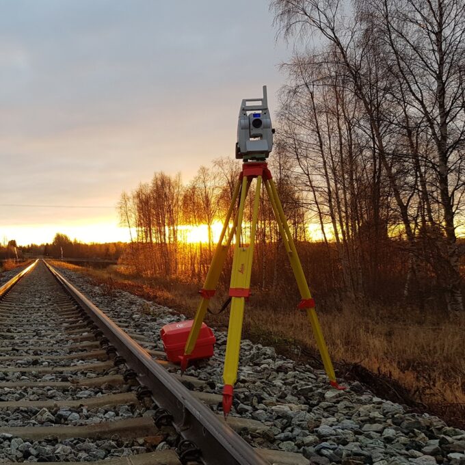
Land readjustment services
If you want to subdivide an existing registered immovable, merge several bordering registered immovables, if you are unable to identify the exact natural boundary markers, or if you have any other activity that requires land readjustment services, please contact us. Over the years, we have carried out the work described above for major infrastructure projects, residential district developments, and on private properties.
All land readjustment services will be carried out through the Land Registry’s master plan. For quotations for land registry services, please contact the project manager from our cadastral department.
In addition, we recommend that you consult the Land Registry website for the Landowner’s reminder. This information provides answers to most of the questions landowners may have about their property, cadastral parcel, and boundaries. It will certainly provide you with information on the nature of cadastral parcels, their creation, and division. The surveying methods used and applied in the establishment of cadastral parcels are explained in detail. It also answers questions about boundary markers, property boundaries, and what to do in the event of a boundary dispute.
https://geoportaal.maaamet.ee/est/Ruumiandmed/Maakatastri-andmed/Maaomaniku-meelespea-p549.html
Get a quote for land readjustment services
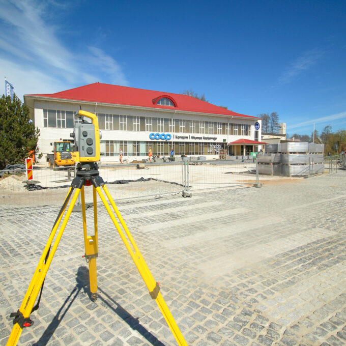
Other services
-
Topo-geodetic base plan
The topo-geodetic base plan is a map of the surveyed area, which gives the site plan view of the...
Read more -
Post-construction survey
To most of us, a post-construction survey may visually appear like a geo-survey and often raises the...
Read more -
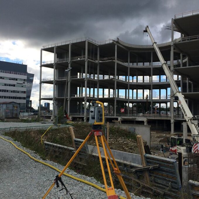
Structural geodesy
Construction geodesy is needed throughout the construction process. Right from the start of...
Read more -
As-built survey
The as-built survey is a process in the field of geodesy where works carried out during construction...
Read more -
Building surveying
The point cloud obtained from laser scanning is a set of millions of individual points that...
Read more -
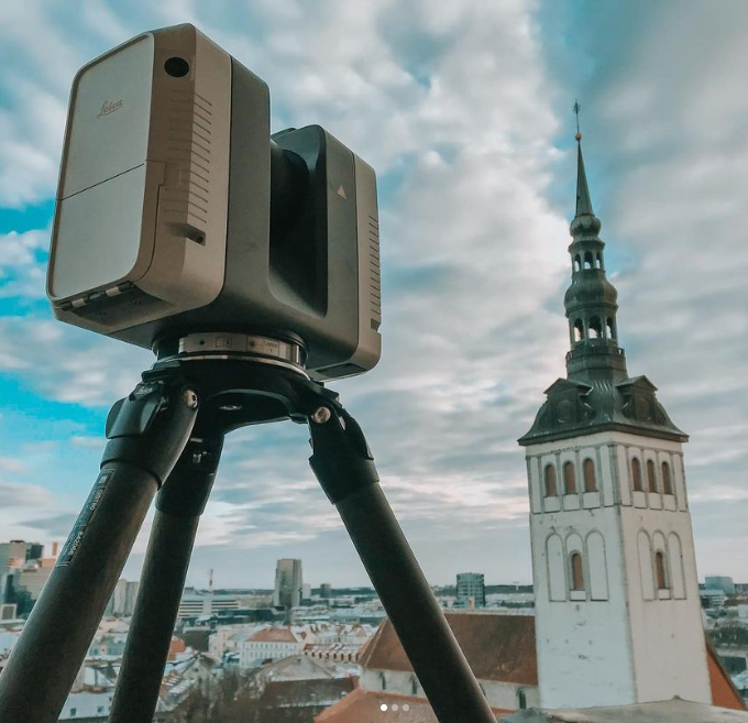
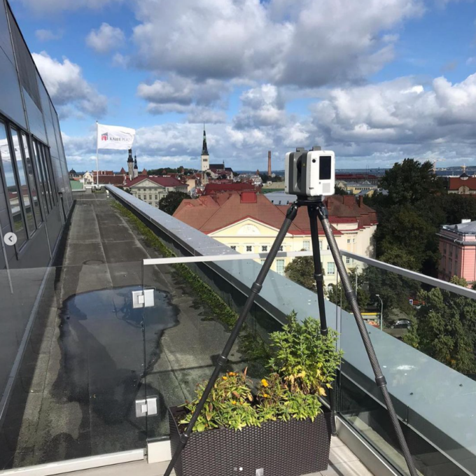
Laser scanning
Laser scanning is the leading technological...
Read more -
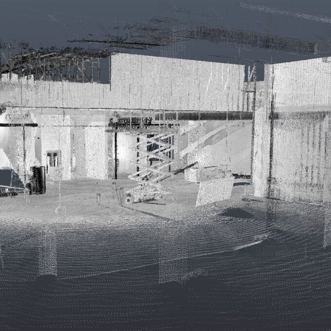
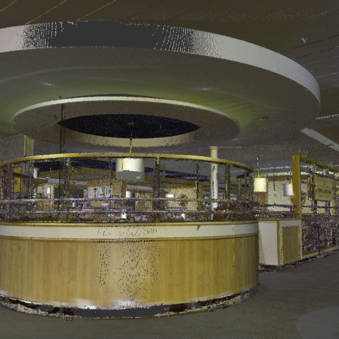
Point cloud
The point cloud is an indispensable tool in the fields of planning and construction, property...
Read more -
Digital twin
Three-dimensional planning has been used by architects and designers in the building sector for over...
Read more -
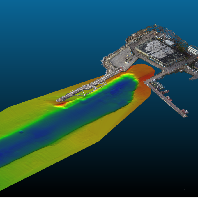
Hydrographic surveys
Hydrographic surveys are mostly used to measure water depths, volume calculations for dredging,...
Read more -

Building regularisation
We can assist you in regularising...
Read more