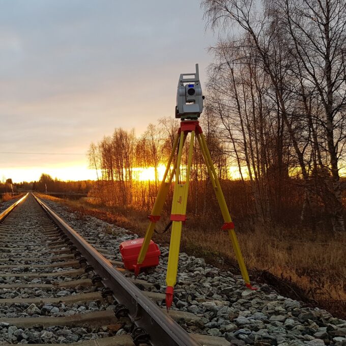
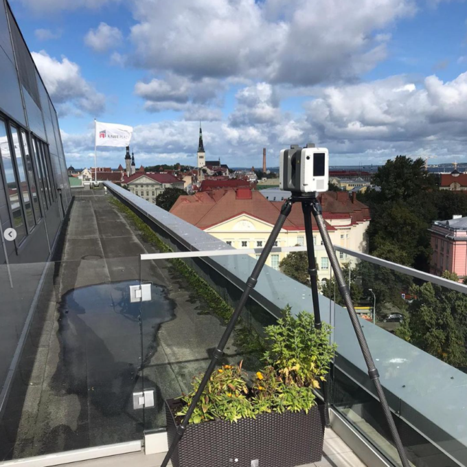
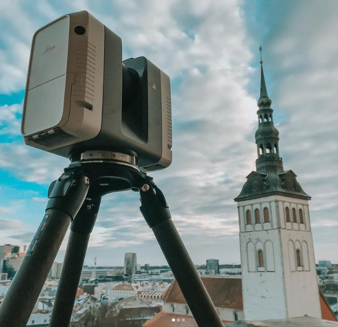
Three-dimensional planning has been used by architects and designers in the building sector for over 20 years. Geodeesia24 began surveying existing buildings and structures using 3D laser scanning in 2014. We can say that the use of point cloud surveying has become standard for us, and informed clients know to request it in their inquiries
A digital twin is an exact virtual copy of a real-world object. With the digital twin product, we offer the following solutions for your desired object, be it a building, railway, road or any other infrastructure civil engineering work:
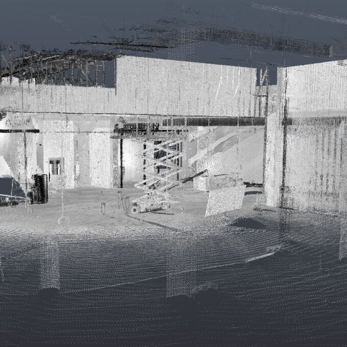
- Colour point cloud
- 360 panorama photo
- 360 street-view solution
- Aerial photo
Virtual twins can be treated as a stand-alone product, but we would be happy to assist you with data processing as well. Data processing typically results in the following products:
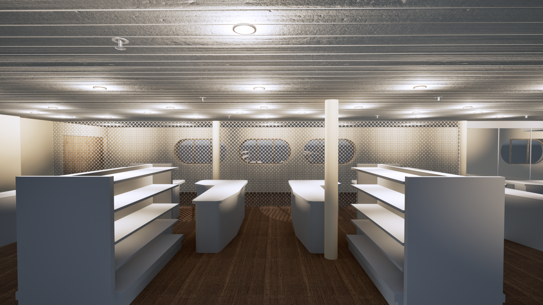
- 3D model
- 3D terrain model
- 3D topo-geodetic base plan
- 2D drawings
Other services
-
Topo-geodetic base plan
The topo-geodetic base plan is a map of the surveyed area, which gives the site plan view of the...
Read more -
Post-construction survey
To most of us, a post-construction survey may visually appear like a geo-survey and often raises the...
Read more -
Structural geodesy
Construction geodesy is needed throughout the construction process. Right from the start of...
Read more -
As-built survey
The as-built survey is a process in the field of geodesy where works carried out during construction...
Read more -
Building surveying
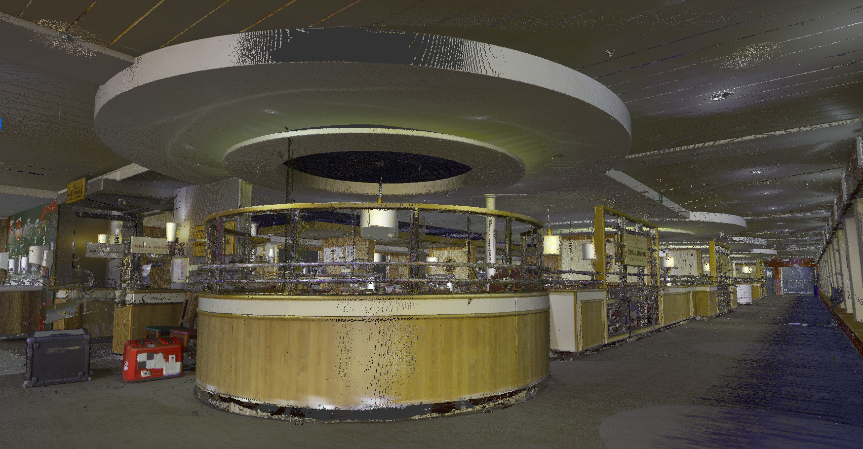
The point cloud obtained from laser scanning is a set of millions of individual points that...
Read more -
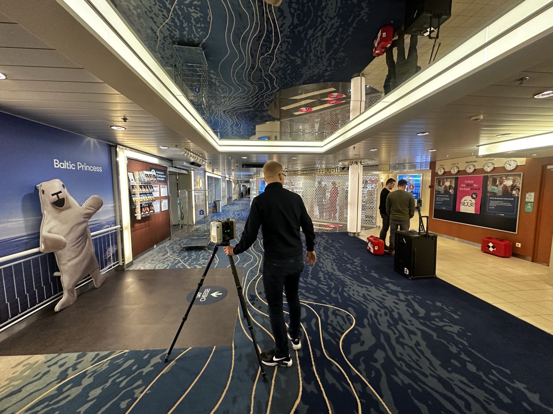
Laser scanning
Laser scanning is the leading technological...
Read more -
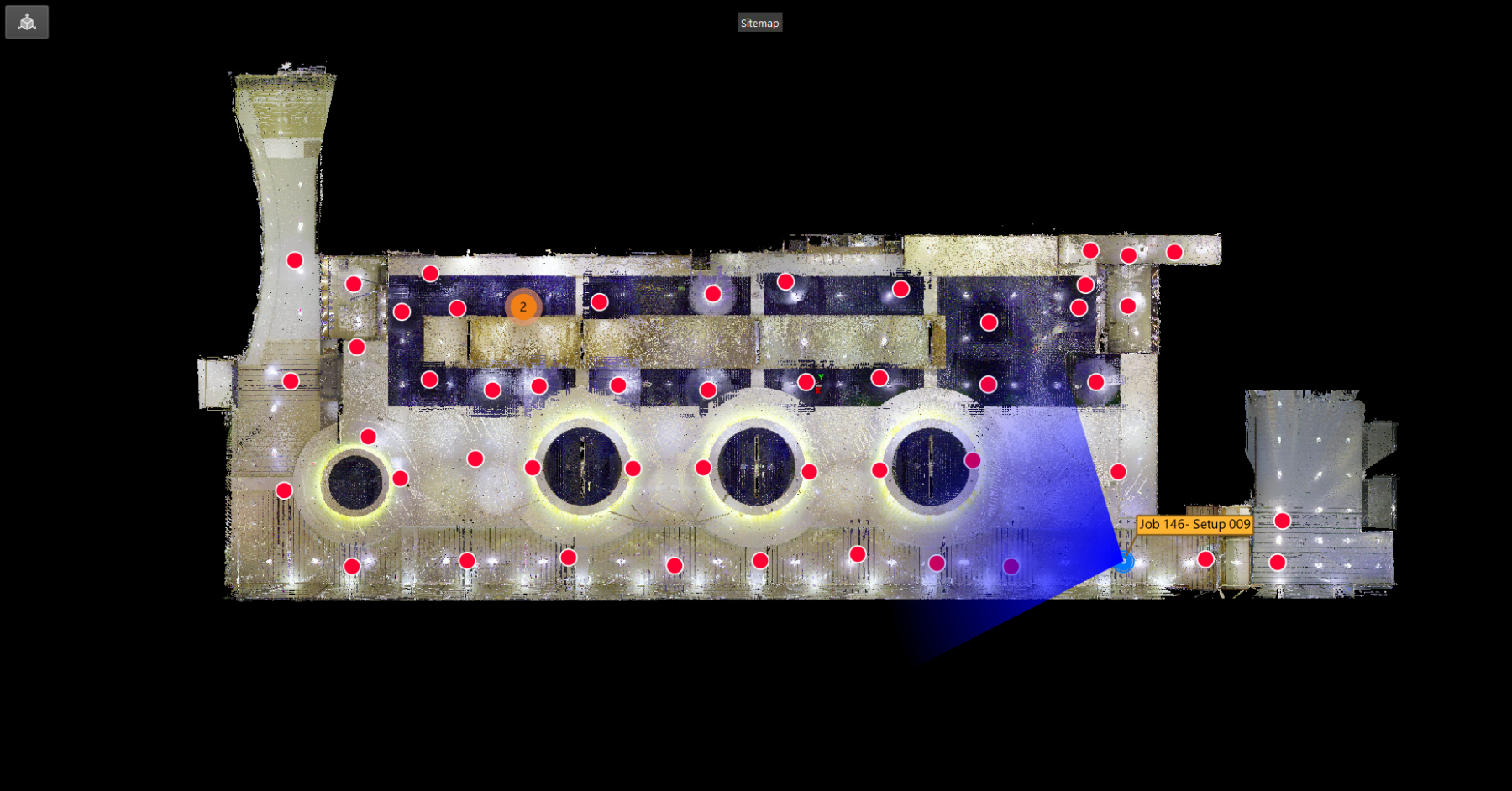
Point cloud
The point cloud is an indispensable tool in the fields of planning and construction, property...
Read more -
Land readjustment services
All land readjustment services will be carried out through the Land Registry's master plan. For...
Read more -
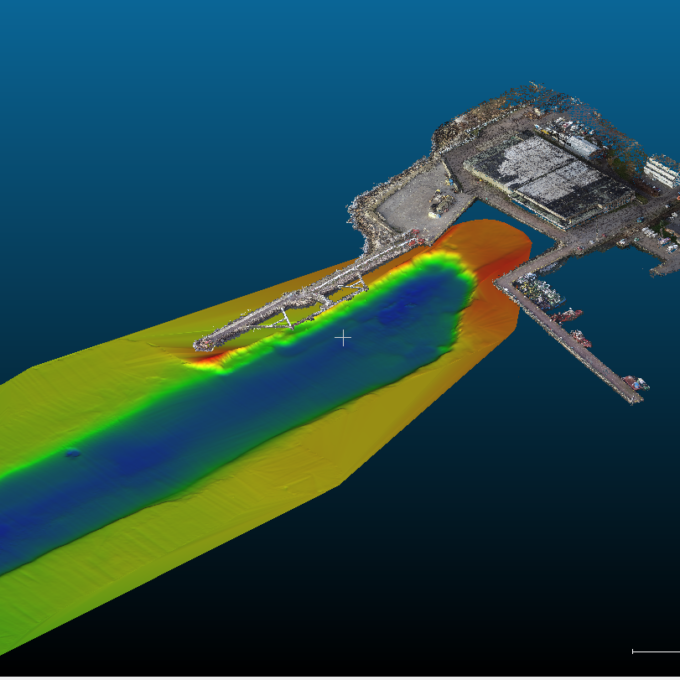
Hydrographic surveys
Hydrographic surveys are mostly used to measure water depths, volume calculations for dredging,...
Read more -

Building regularisation
We can assist you in regularising...
Read more