Building surveying
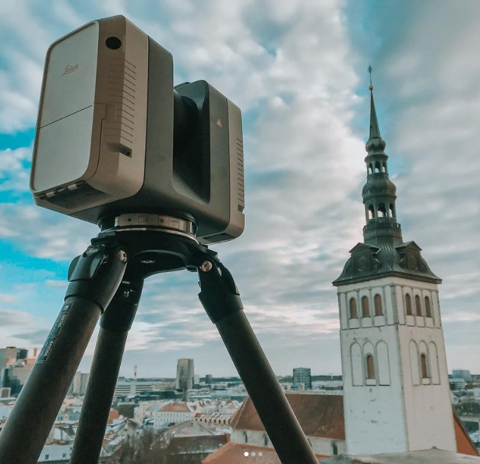
If you don’t have accurate drawings of your building that reflect its current state, we can assist in drawing them up for you. We can create a point cloud of your building using laser scanning surveying, and, based on this, we can draw up 2D building plans, an inventory drawing or a 3D model, depending on your needs.
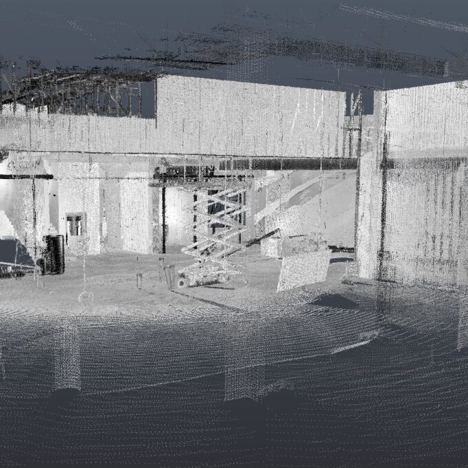
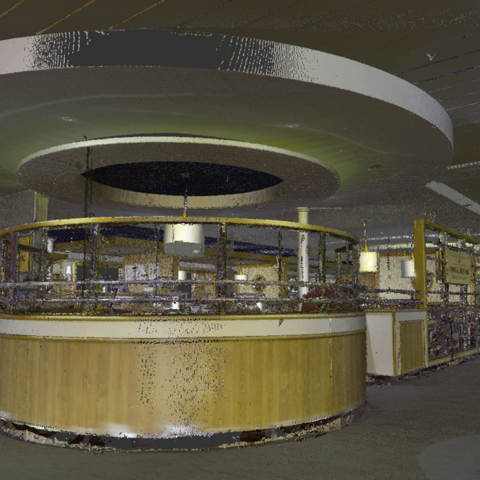
The point cloud obtained from laser scanning is a set of millions of individual points that corresponds to reality and is, simply put, a digital twin of the object being measured. It is possible to move around the point cloud like a computer game, to take the absolute dimensions of all the elements, to calculate volumes and areas. We can output the point cloud in black and white and in colour. A colour point cloud also comes with 360 panoramic photos or so-called ‘360° panoramas’ or a Street View image.
The process of surveying a building using the example of Geodeesia24:
- Planning measurement works
- On-site surveying: creating a geodetic network, laser scanning of the building.
- Processing of survey data in the office: aggregation of survey positions (resulting in a complete point cloud), point cloud cleaning (removal of reflections and unnecessary elements) and output (.pts, .e57, .rcs, .rcp, .lgs formats).
- 3D modelling (Archicad, Revit, Civil3D, IFC) or 2D drawings (.dwg and .pdf).
Geodeesia24’s investment in laser scanning technology has created a capability that, when all equipment is utilised, can survey a very high quality point cloud of up to 15,000 m2 in buildings and up to 100 km of roads in a single working day.
Get a quote for a building survey
Other services
-
Topo-geodetic base plan
The topo-geodetic base plan is a map of the surveyed area, which gives the site plan view of the...
Read more -
Post-construction survey
To most of us, a post-construction survey may visually appear like a geo-survey and often raises the...
Read more -
Structural geodesy
Construction geodesy is needed throughout the construction process. Right from the start of...
Read more -
As-built survey
The as-built survey is a process in the field of geodesy where works carried out during construction...
Read more -
Laser scanning
Laser scanning is the leading technological...
Read more -
Point cloud
The point cloud is an indispensable tool in the fields of planning and construction, property...
Read more -
Digital twin
Three-dimensional planning has been used by architects and designers in the building sector for over...
Read more -
Land readjustment services
All land readjustment services will be carried out through the Land Registry's master plan. For...
Read more -
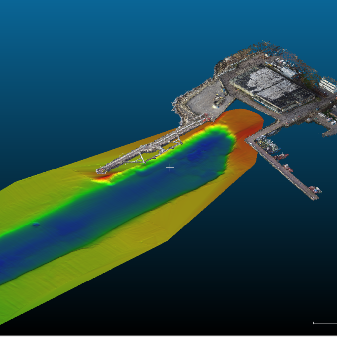
Hydrographic surveys
Hydrographic surveys are mostly used to measure water depths, volume calculations for dredging,...
Read more -

Building regularisation
We can assist you in regularising...
Read more