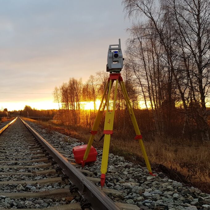
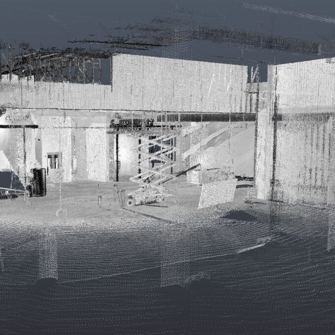
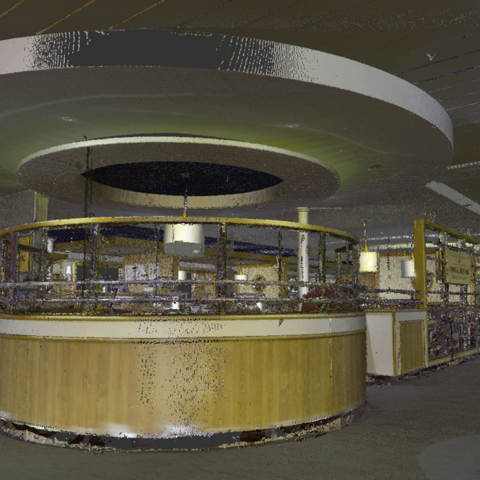
As-built survey
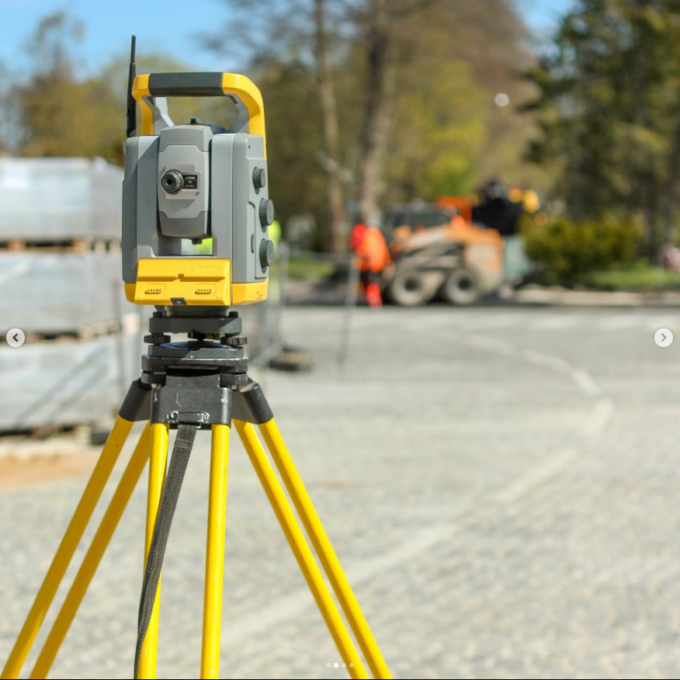
The as-built survey is an essential step in any construction project. It ensures that all works are carried out as planned, which is important for safety, quality and cost-effectiveness. Our team provides professional quantity surveying, using the latest technology and ensuring the highest possible accuracy and reliability.
The as-built survey is a process in the field of geodesy where works carried out during construction are measured and thereby documented. Its main purpose is to ensure that the project has been implemented according to the original plans and drawings, following accuracy and quality standards.
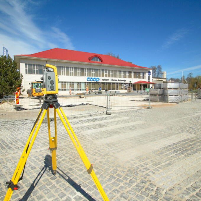
The as-built survey process includes the following steps:
- Baseline data collection: data on existing buildings and the landscape are collected before work starts to establish an accurate baseline.
- Construction monitoring: during the construction process, the progress of works is measured and recorded in stages to ensure that everything follows the design.
- Final survey: a final survey will be carried out after the end of the works to document the final result and to make sure that all elements meet the design requirements.
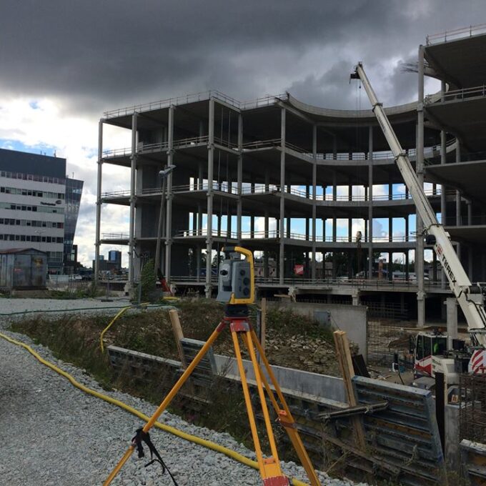
As a result of the surveying work, as-built drawings and as-built models (land xml, IFC, RVT, etc.) are produced, which reflect the accuracy and quality of the work carried out. All of the as-built measurements will be compiled and archived for future reference. The as-built drawings and as-built models will be of great value decades later when the need arises for design, excavation in the field, or the opening up of the walls of buildings. For example, information gathered in the past about the location of a cable or pipe can help to avoid damaging it during the works.
Ask for a quote for an as-built survey
Other services
-
Topo-geodetic base plan
The topo-geodetic base plan is a map of the surveyed area, which gives the site plan view of the...
Read more -
Post-construction survey
To most of us, a post-construction survey may visually appear like a geo-survey and often raises the...
Read more -
Structural geodesy
Construction geodesy is needed throughout the construction process. Right from the start of...
Read more -
Building surveying
The point cloud obtained from laser scanning is a set of millions of individual points that...
Read more -

Laser scanning
Laser scanning is the leading technological...
Read more -
Point cloud
The point cloud is an indispensable tool in the fields of planning and construction, property...
Read more -
Digital twin
Three-dimensional planning has been used by architects and designers in the building sector for over...
Read more -
Land readjustment services
All land readjustment services will be carried out through the Land Registry's master plan. For...
Read more -
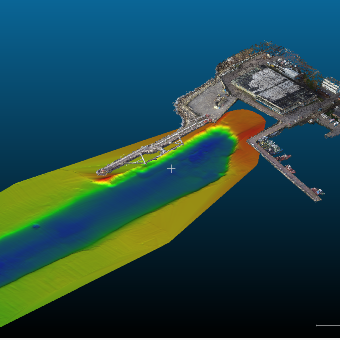
Hydrographic surveys
Hydrographic surveys are mostly used to measure water depths, volume calculations for dredging,...
Read more -

Building regularisation
We can assist you in regularising...
Read more