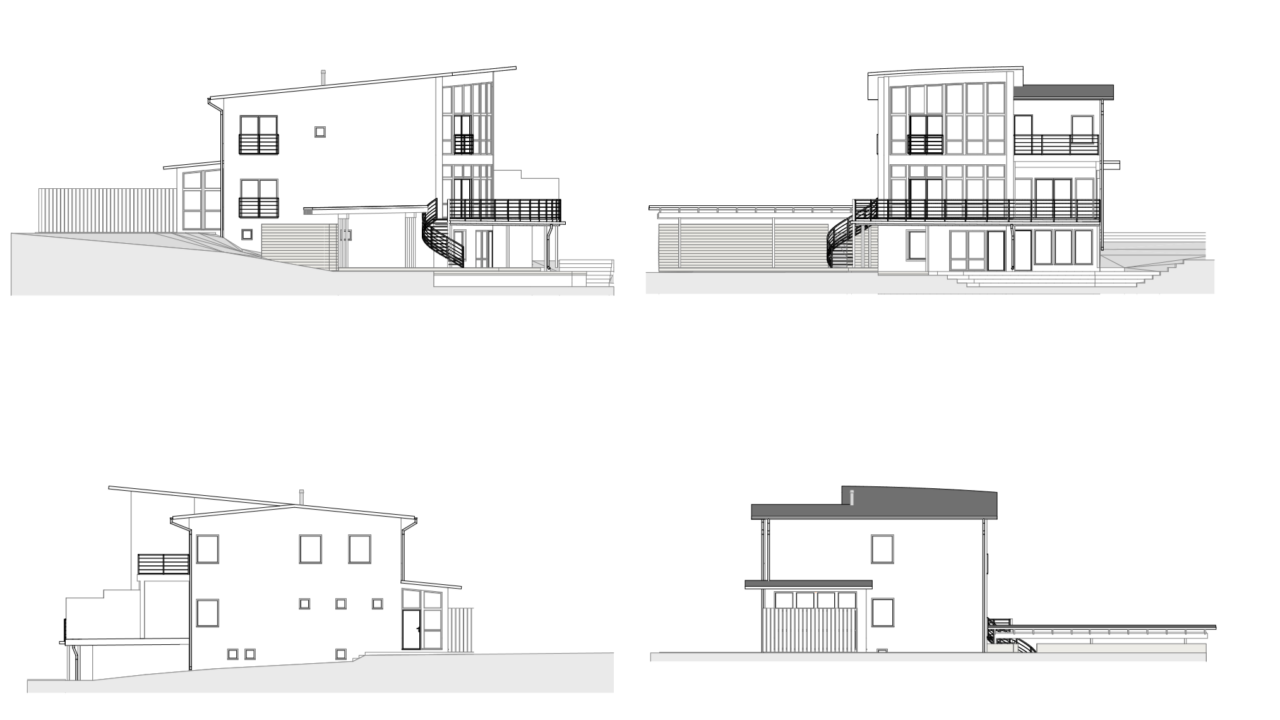
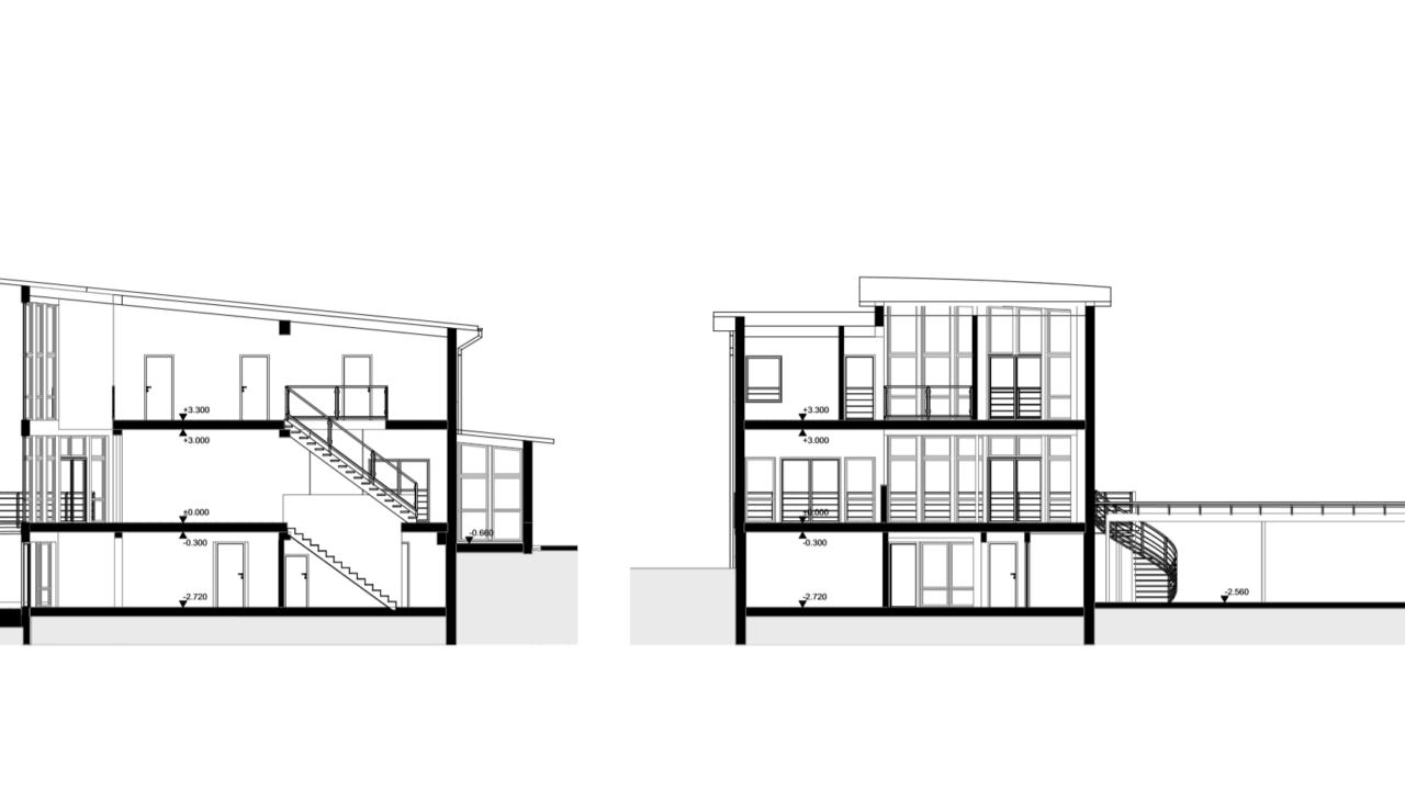
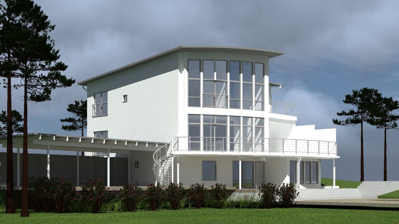
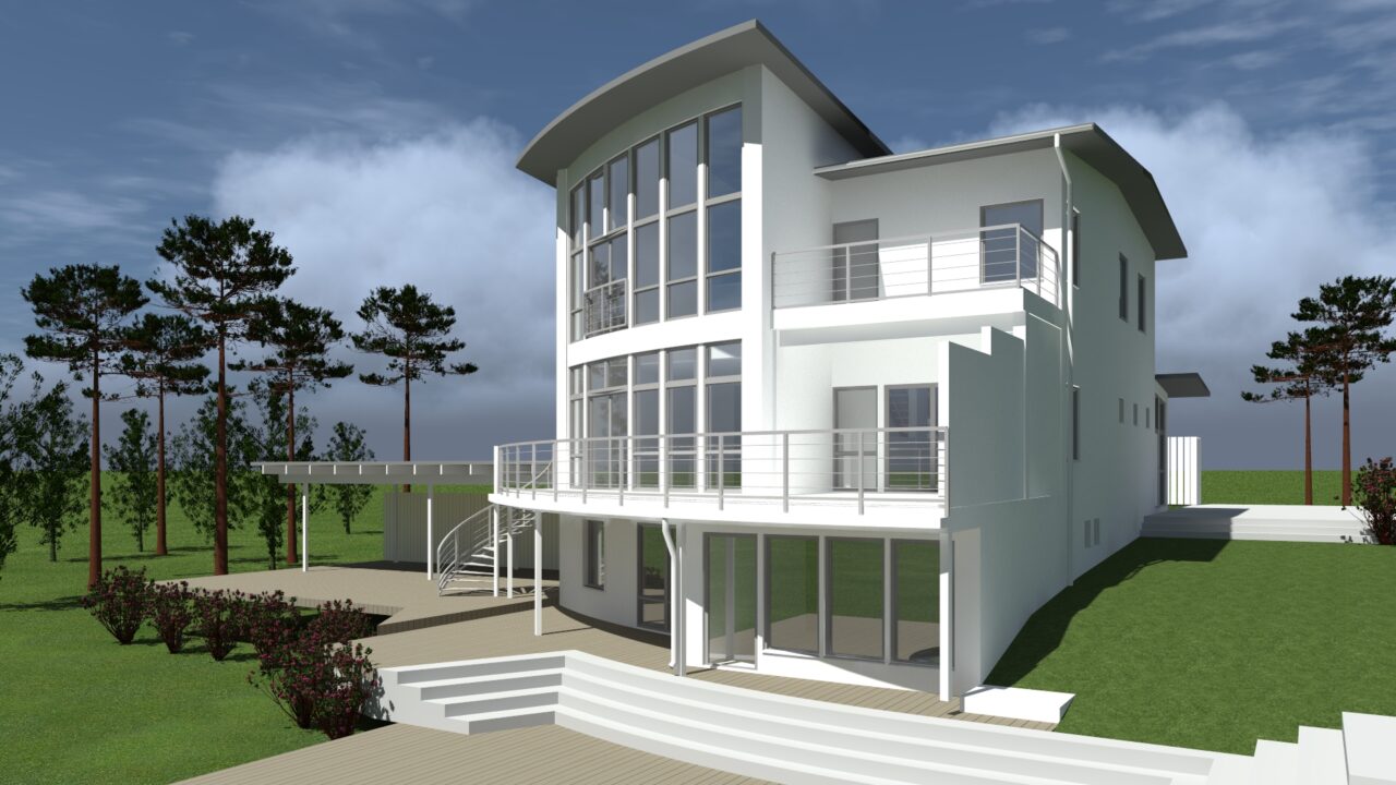
In June 2019, Geodeesia24 surveyed a villa in Stockholm.
Our task was to survey the building and create a BIM (Building Information Modeling) model based on the collected data.
The laser scanning of the building was completed in a single working day, which was longer than average. The generated point cloud was linked to the local coordinate network with the assistance of local officials. The BIM survey model was provided to the architect for future design work. Laser scanning and point cloud technology offer the fastest method to process data for building measurements, applicable to any type of building.